Hi,
I’d like to inquire about pixel offset tracking (POT) technique for exploring the surface rupture zone of a significant strike-slip earthquake with a magnitude of Mw 6.6 and a depth of 10 km. I’m using ESA-Snap software and Sentinel-1 dataset. and I’m curious if this method is primarily used for estimating the velocity of glacier sheets or if it can also be applied to extract deformation in both the azimuth and range directions, particularly when dealing with small displacements ranging from centimeters to 4-5 meters.
I am not familiar with the way that ESA-SNAP implements the pixel offset tracking method for Sentinel-1. I can tell you the theoretically possible measurement accuracy from POT are about 1/10 or 1/20 of the pixel size of the SAR images. The Sentinel-1 full-resolution SLC files have the range pixel size of 2.3 meters and azimuth pixel size of 14 meters. This means the best accuracy you get in the azimuth (along-track) direction with Sentinel-1 is about 0.7 meters. You will never be able to measure a few cm. I use this method for earthquakes often, usually for earthquakes larger than magnitude Mw 7, and I use the InSAR Scientific Computing Environment (ISCE) software. The big advantage of POT is that it works for very large displacements with no saturation or phase unwrapping problems.
3 Likes
Thanks alot …@EJFielding !!! But I didn’t use “InSAR Scientific Computing Environment (ISCE) software” before. So, this is available to use it ?
The InSAR Scientific Computing Environment (ISCE) is free and open software available on GitHub (GitHub - isce-framework/isce2: InSAR Scientific Computing Environment version 2). It requires some installation, but there is an Anaconda option. It is command-line software, not a graphical user interface like ESA-SNAP.
2 Likes
Great!!! I will download it. thanks.
Hi, i have a question about POT. When try to use isce to get pixel offsets , i guess for large offsets, we do coarse registration first based on orbit info and range-doppler, then use ampcor for precise registration to get “local offsets”. Then how can we get the total offsets? what if there are rotations between the two image?Perhaps I did not understand this method correctly.
this is from a facebook group - https://www.facebook.com/photo/?fbid=10158909943136572&set=gm.6202173836515733&idorvanity=4345832582149877
Yes, the ISCE2 software normally resamples the secondary images to coarse registration with the reference image before doing pixel offset tracking using information from the orbits. The “ampcor” program is used to calculate the offsets on the resampled image. You could write your own Python code to call the ISCE2 “ampcor” module to calculate offsets on the secondary image before resampling with the orbit info.
please how do you get the absolute displacement using SAR interferometry and how to calculate horizontal and vertical displacements?
getting absolute displacements is not trivial task and involves a lot of assumptions.
for example by now SNAP takes into account the ionosphere influence, but this is also
up to a certain point. other thing which is mentioned rarely is the presence of reference
point into the SAR data.
summing up SAR derived displacements are relative so they need verification.
please read the documents for EGMS.
Please assistance I am using SNAP and I have 4 sentinel1 images (SLC) from ascending and deascending . How can use SNAP to get offest tracking and What are the equations used to obtain horizontal and vertical displacements? I am new and do not know much about this method and how to use it with SLC in SNAP. I want to compare my results using DInSAR with the results I will get using this method (Offset Tracking)… Please help. I urgently need to know from all of you.
Thank you in advance
Please How can use SNAP to get offest tracking, I want to obtain horizontal and vertical displacements caused by eartquake, please if there’s any possibility to send me the documents used in SAR offset-tracking processing
thank you in advance
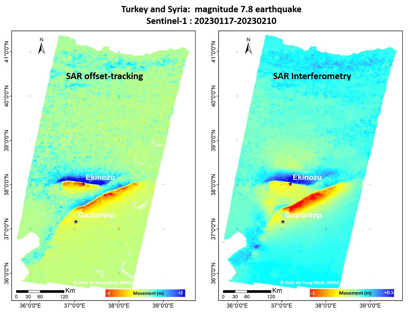
For POT I’d suggest to use this tutorial - http://step.esa.int/docs/tutorials/S1TBX%20Offset%20Tracking%20Tutorial.pdf
Provided there are the steps needed to create displacement maps after large
surface displacements e.g. more than 1m
Thank you very much for your help and reply I have read it before but I want to know how can I extract and map the azimuth and range offsets
You may try decomposing the vector you obtain from POT.
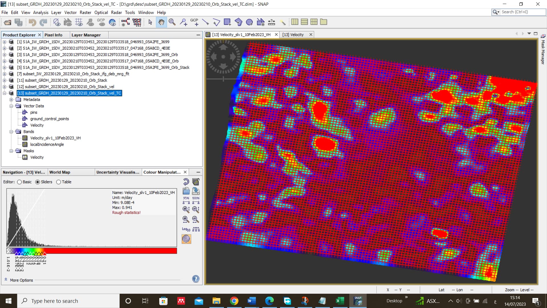
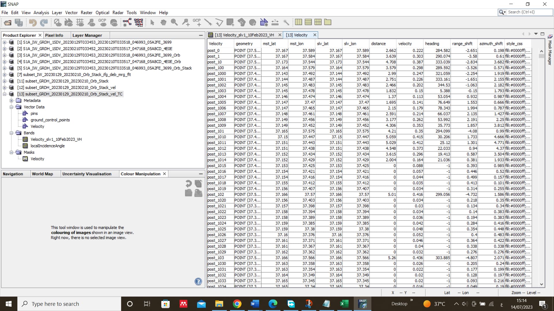
After obtaining the velocity, can I get a map of the displacements in range and azimuth using program SNAP ?
After obtaining the velocity, can I get a map of the displacements in range and azimuth using program SNAP ?If not how I can get map of the displacements in range and azimuth , Please I need urgent help
thank you in advance @hriston_bg @EJFielding
Hello sir, I saw your problem, I wonder have you solve the mapping problem of the range and azimuth displacements? If did, could you generously teach me how to do it? I am really a new one in this field and I could really use the help, thank you in advance!
Sorry to bother you, Professor, I wonder is there a tutorial for isce software to accomplish POT online ? Or could you write one on this forum so that many beginners like me could learn a lot, I am looking forward to your reply, and thank you very much, truly!