Hi everyone!
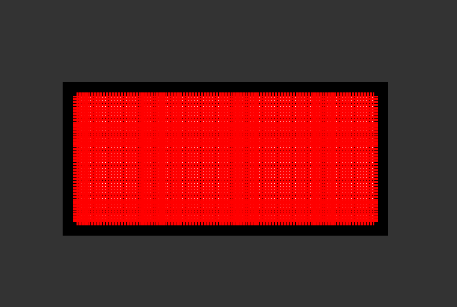
I did pixel offset tracking for my study area. After generating velocity map, the image looks like this. I followed the same steps given in the ESA pixel offset tracking tutorial. Help me out in this.
Please disable the display of vectors in the Layer Manager to see thr raster underneath.
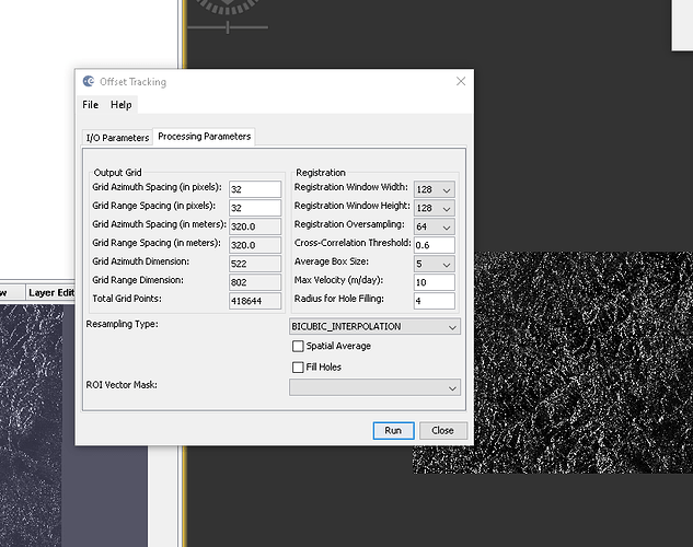
Thank you Braun for your response. I have some other doubts regarding assigning parameters to offset tracking. Please find the screenshot below. I have taken Sentinel-1 GRD images of April and June, 2020 for glacier velocity estimation. What is this radius for hole filling parameter? How to determine this? Moreover, the grid azimuth and range spacing should be kept constant or changed according to dataset? If yes, then how to determine that? Also, how to determine registration window width, height and oversampling values? Anticipating your reply!

