Dear step forum members.
I’ve processed ALOS PalSAR Level 1.1 (ALOS-H1_1__A-ORBIT__ALPSRP087910690) downloaded from the Alaska Science Facility. I strictly followed ALOS PALSAR Orthorectification Tutorial made available by ESA. The resulting terrain-corrected bands, Sigma0_HH and Sigma0_HV, have been converted to decibels, as shown below:
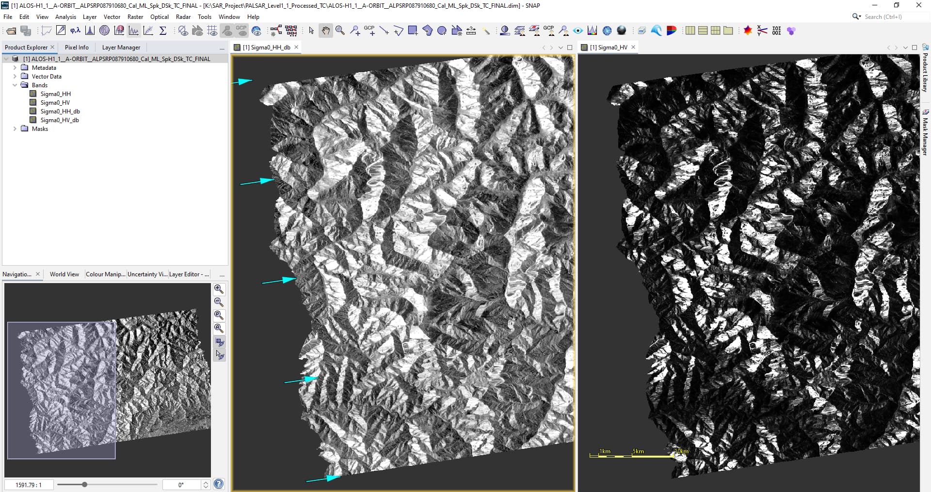
As seen, this area is predominantly mountainous, and the appearance of the terrain-corrected image has an unusual ‘plastic effect’. I am unsure what might be causing the slopes to look this way; it resembles the application of a hillshade effect on a Digital Elevation Model, as demonstrated here Consequently, I am having difficulty discerning vegetation on these slopes, and these bands do not seem helpful for visual interpretation of other terrain features either.
What could be causing this appearance?
Thank you for your insights!