thanks for your response.
yes, I use level 1.5 data and also can access for level 1.1 product, but which format is better either in CEOS or geotiff?
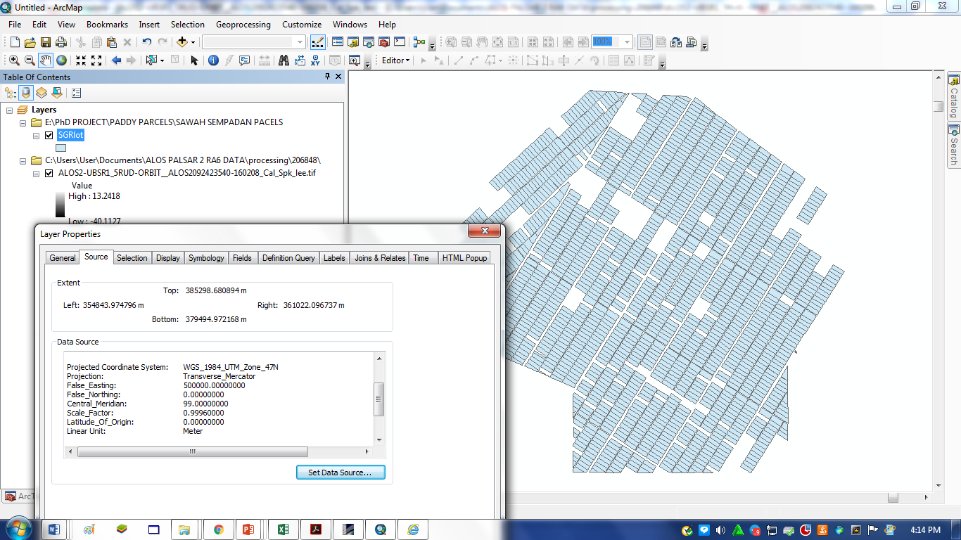
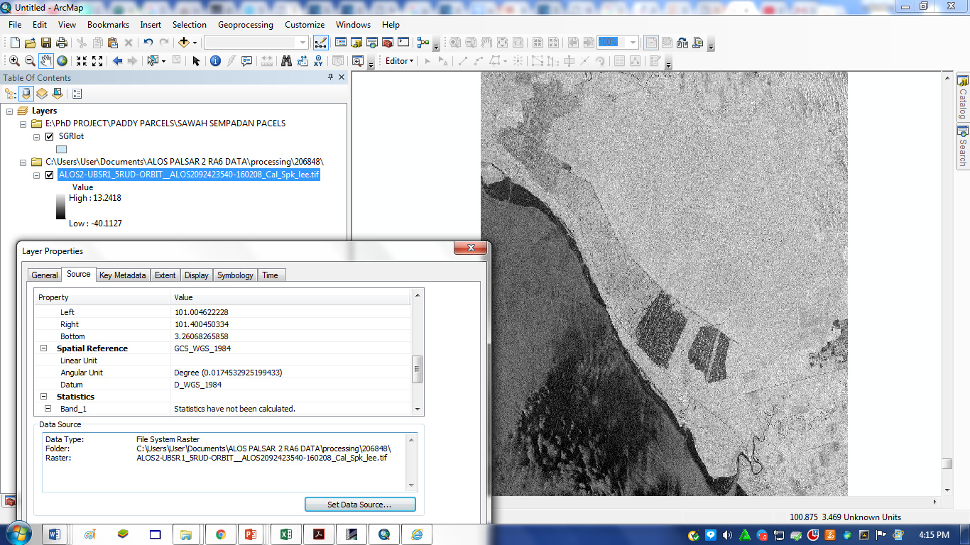
the shapefile is the same coordinate with Alos-2 file. I also have process another three images before and got no problem.
I have open in ArcGIS software, both data cannot overlay.