If you use GPT processing, you can set in the TerrainCorrection operator the parameter to TRUE and it will then retain the complex i and q bands. Moreover you should realize that the TerrainCorrection Operator applies the DEM and reprojects your data on a rectangular LAT/LON grid. So it does interpolate your data to achieve this and it is therefore inevitable that PixelValues change. So it is BEST PRACTICE to do all operations on your datasets and only TerrainCorrect the final results to asses it georeferenced.
Also, since the phase of a single image is random (but deterministic) it is of no practical use. If you want to exploit the phase-information you need a pair of SLCs and to do InSAR processing.
there are in fact some use-cases in which the phase info is relevant. For example when further processing of the data is done out-side of the SNAP framework. So your statement was a bit too black and white
Please clarify what is GPT and where it is found in SNAP. I would like to tell you the gist of what I want to do exactly. I have four passes of Radarsat-2 images. I need to first coregister and then geocode and extract pixel values. Thereafter I need to do certain processing and then do validation. For validation, proper geocoding is must. I cannot do terrain correction at the end.
Terrain correction is giving me perfect overlap but I want individual real and imaginary parts.
I believe the modified pixel values after terrain correction are the actual power values?
In Graph builder------> SARSimTCGraph, I am getting the problem of 3-GCP-Selection: java.lang.NullPointerException. Kindly provide necessary support and guidance.
Thanks for the document.
As per the file, only calibration and speckle filtering is applied for processing the data. Are these sufficient? Is terrain correction also required?
depends on what you want to do with the data. If you want to make polarimetric analyses, you should not calibrate to Sigma0 but select the “complex output” in the calibration menu. Filtering is not a good idea because most polarimetric decompositions and tools are based on pixel kernels which use averages within kernels anyway.
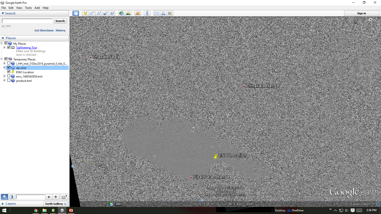
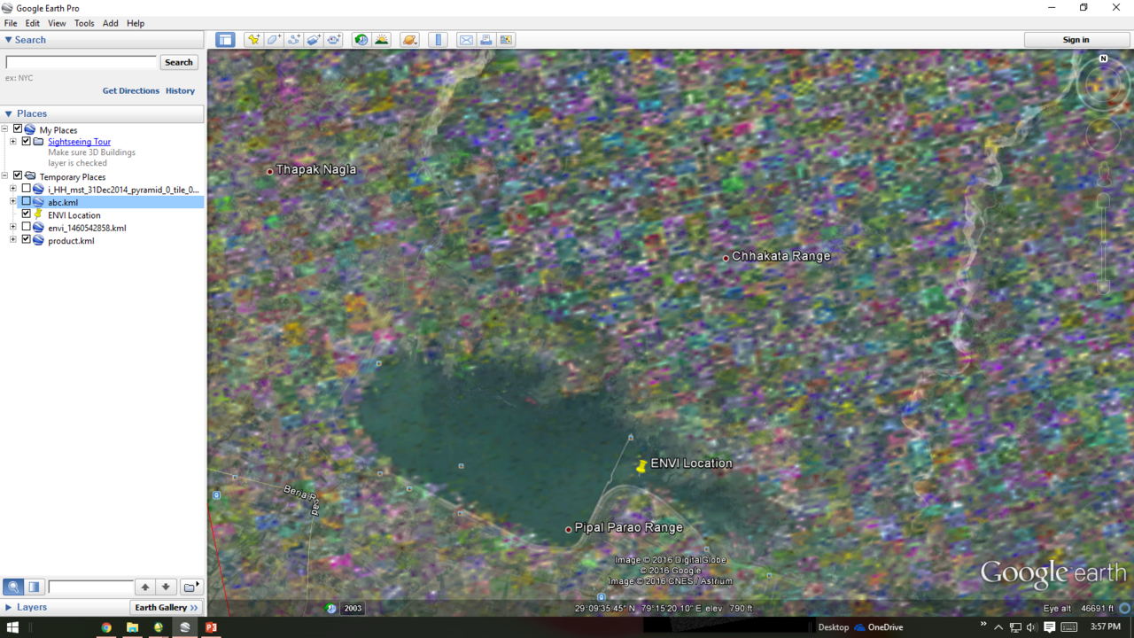
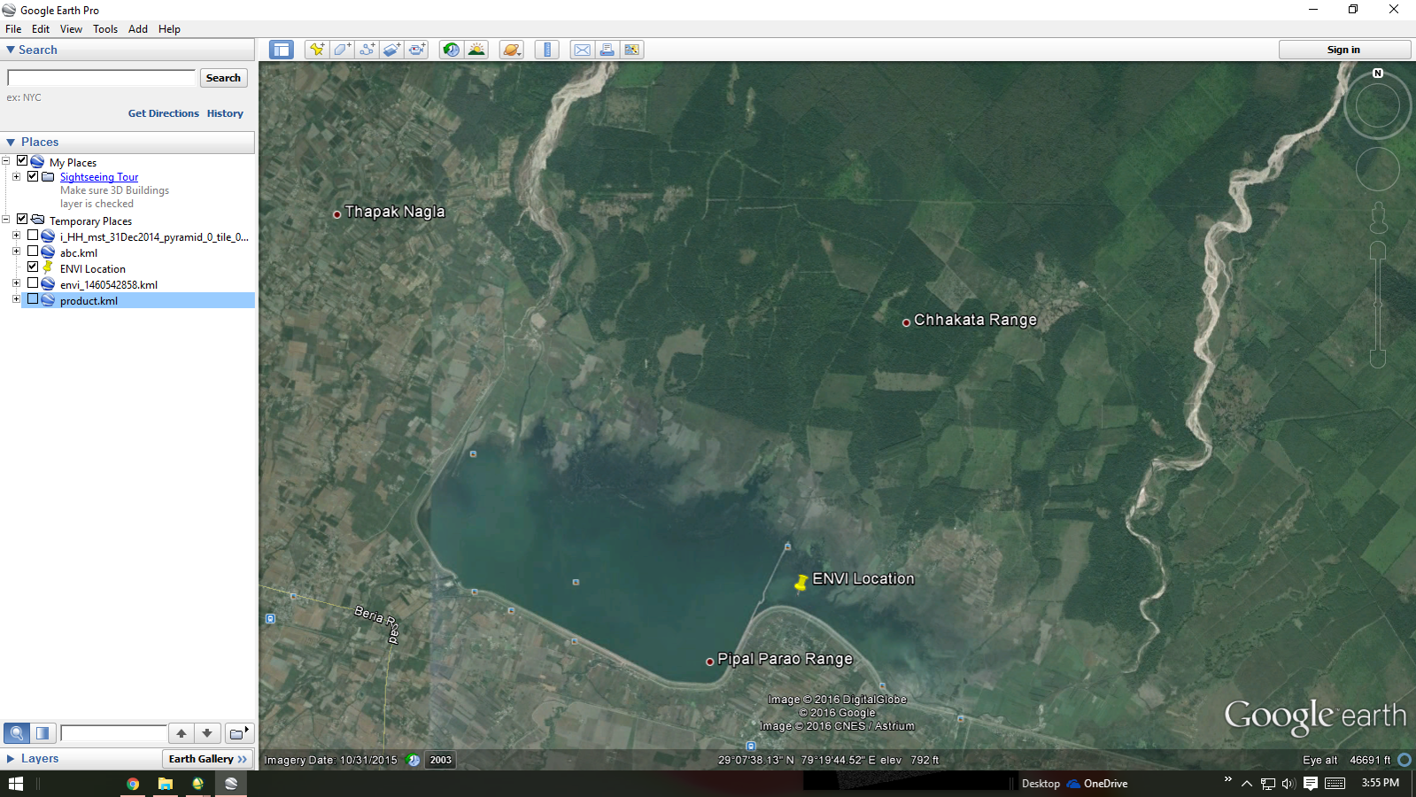
Terrain correction should always be the very last step.
I want to do both polarimetric as well as backscatter analyses. So in this case I need to save the product in both complex and sigma0 format, respectively, right?
If I perform a polarimetric decomposition on the image, the terrain correction has to be done on the decomposed product?