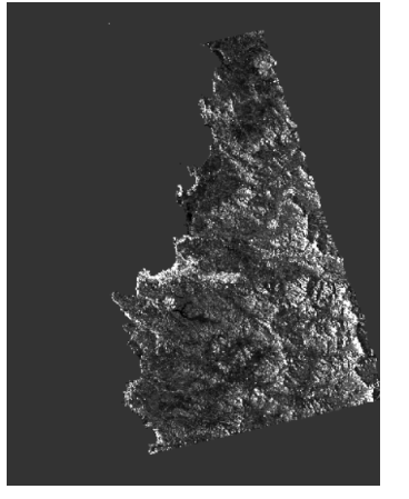
Hi! I have the same problem the image is black, but I am analyzing the coast. Could someone tell me which geometric correction is better for coasts and oceans?
Hi everyone.
I wanna implement Range-Doppler Terrain correction on Sentinel-1 data. but the region don’t have SRTM DEM for auto download
what should I do for correct TC?
Thanks in Advance
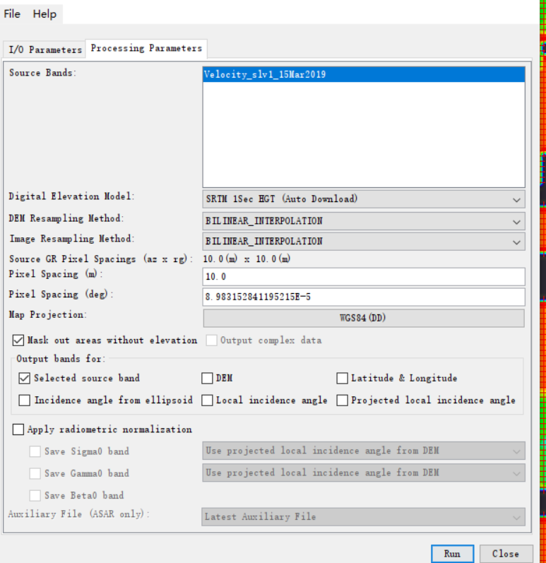
(1)When setting:
DEM Resampling method:Nearest Neighbor
Image Resampling method:Bilinear Interpolation
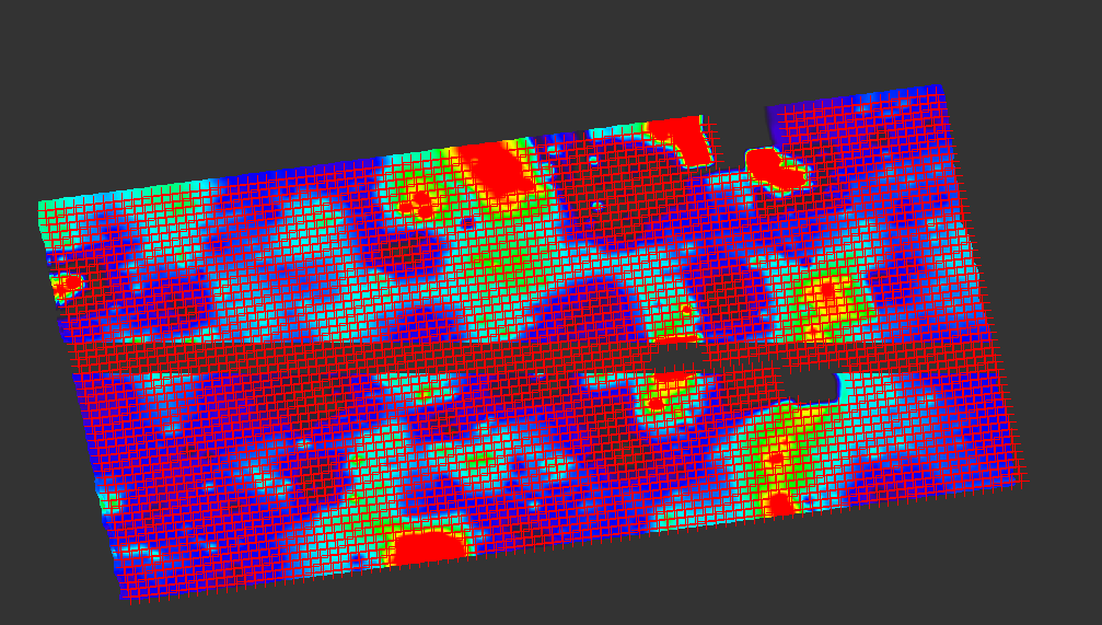
The result is the same, missing lines.
(2)But when setting:
DEM Resampling method:Nearest Neighbor
Image Resampling method:Nearest Neighbor
There are no missing lines in the results.
you can try if ALOS World DEM delivers better results for terrain correction. It can be downloaded freely (after registration) here: https://www.eorc.jaxa.jp/ALOS/en/aw3d30/index.htm
You can use it as an external DEM (GeoTiff in WGS84)
I did the same steps and the problem with blank image occured. I tried to run terrain correction using SRTM 1Sec, SRTM 3Sec and external DEM. In every case the result of the process is blank image. Moreover, when I unchecked the option “mask out areas without elevation” the following error occured: “A problem occured during the target product initialisation. Type: operatorException Message: source product should not be map projected”.
I would appreciate it if you could give me some advice. Thank you!