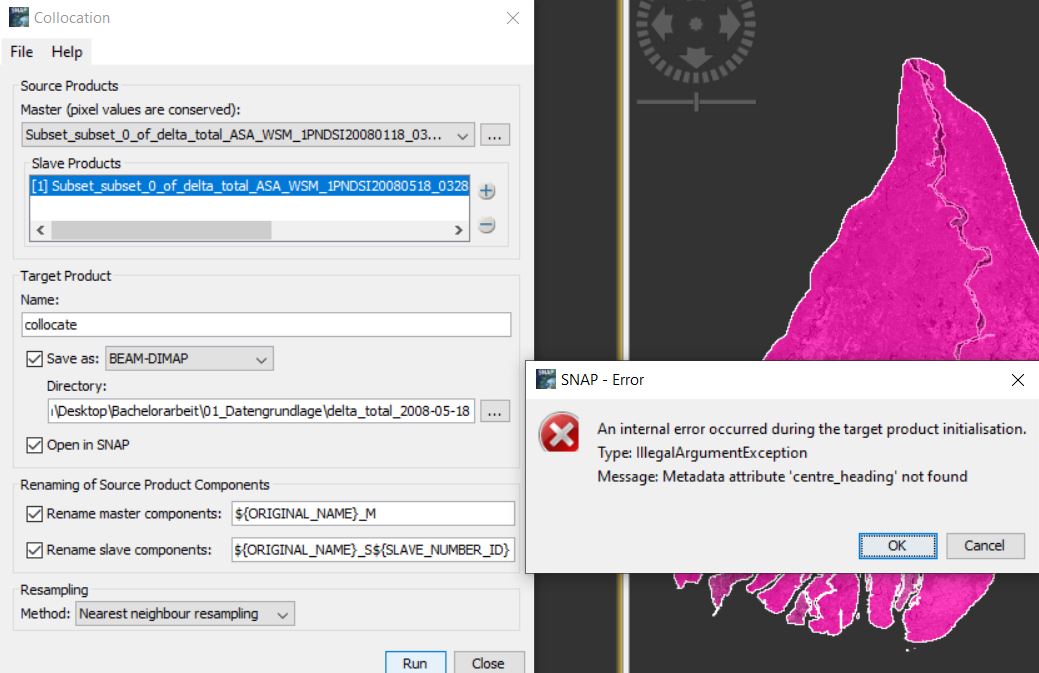
I want to do a Collocation of two ENVISAT ASA WSM scenes and then continue with Band Math. Once i click Run in the Collocation window I get an error message. I don’t know what I’m doing wrong. I have already deleted all masks and checked the pixels in Properties.
“Subset_subset_0_of_delta_total_ASA…” indicates you have already applied a couple of operations prior to this. Please list what you did and in which order. Did you switch the output format by chance?
I did the pre-processing of the two scenes in the order as followed:
Apply Orbit File
Thermal Noise Removal
Calibration
Speckle Filtering (Median 5x5)
Terrain Correction (SRTM 3-arc second; ~75 m resolution)|
Lineartofromdb
After that, I created the subsets and changed the brightness in the histograms. No, I didn’t touch the output format.
Thank you, looks alright.
Maybe you can then use the Create Stack operator (in Radar > Corregistration > Stack Tools)
Use “Product Geolocation” instead of “Orbit” because your data is already projected.
This should allow you to bring both images into one product.
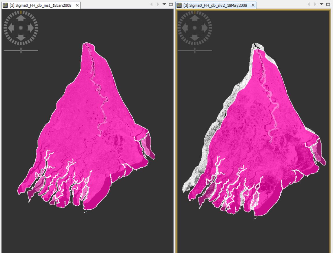
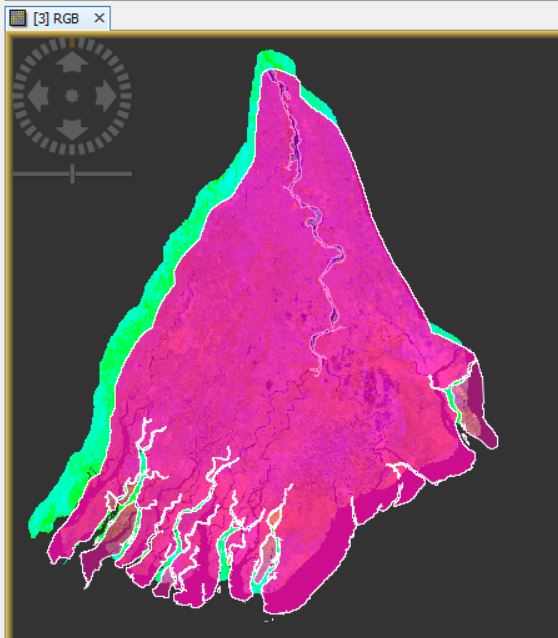
This is the RGB. I think only one of the scenes is wrong because the subset seems to fit at least with the green one. The two scenes are only 4 months apart, pink is the younger one.
Could it be anything with the coordinate systems? But I think I haven’t change anything since I downloaded the scenes from ESA.
You can first apply orbit files, thermal noise removal and calibration, then coregister both and check if they align well. If so, you can filter and terrain correct them and import the vector as a last step.
Thanks for your help! I found out why your advice didn’t solve my problems. I had problems collocation and stacking the two scenes because they don’t have the same track information. I solved my problem by choosing a scene from another day where the track is the same