Hi
I’m doing project about change detection using SNAP and Sentinel 1A SLC data. I have found instructions “Sentinel-1 TOPS Interferometry, Michael Foumelis” . I followed instructions step by step and everything works great, but at the end when I try to calculate statistics I have only one “layer” geometry, but in instructions there are two “layers” geometry and ground_control_points. Does anyone have experience with that instructions and maybe know how to solve that problem??
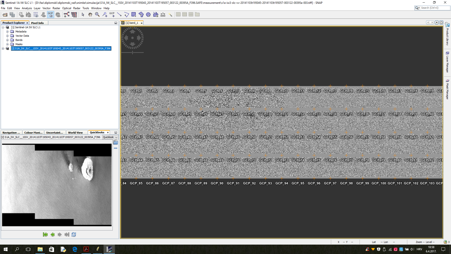
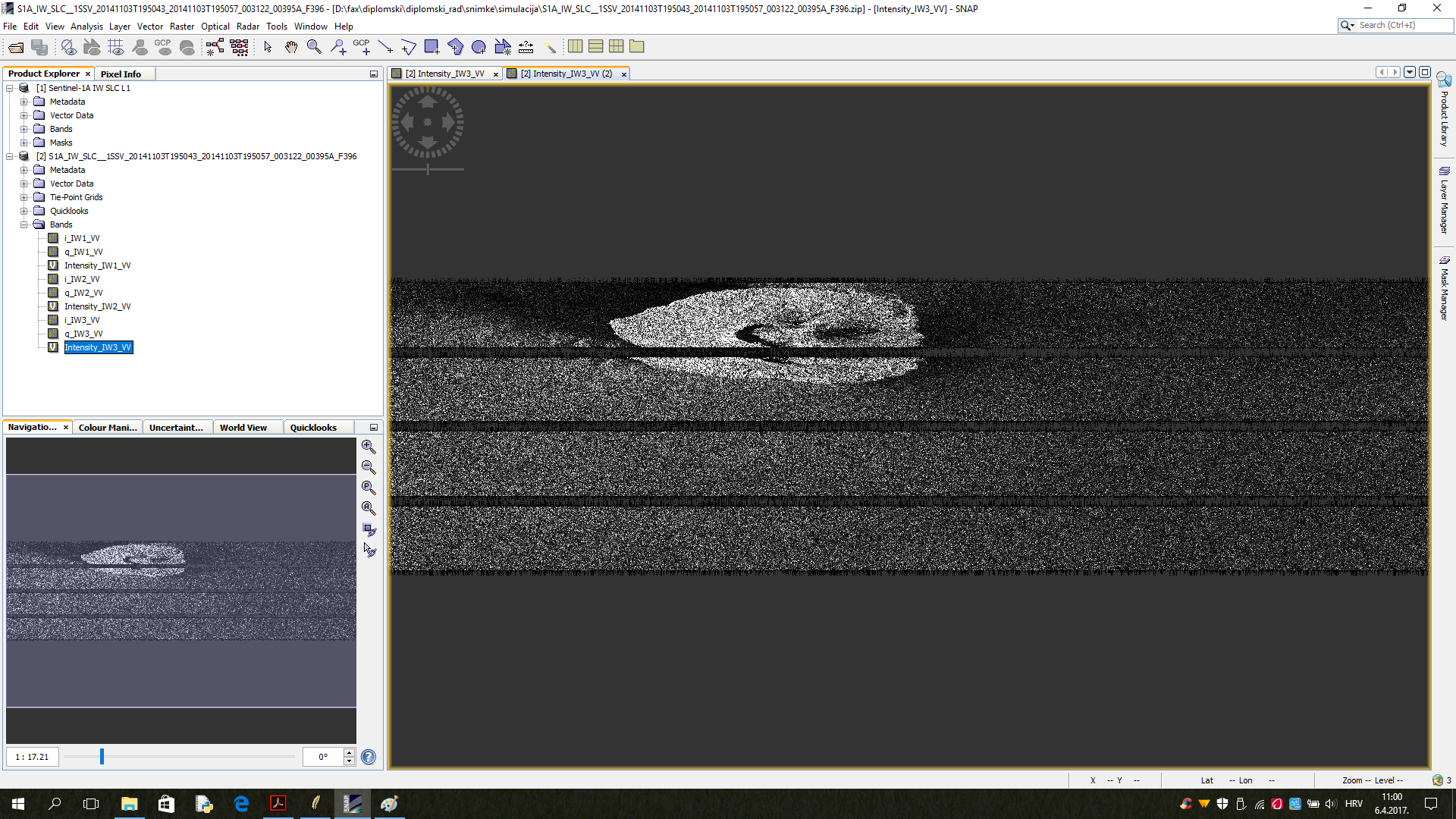
Another problem is that when I load .zip file in SNAP in band I have i,q and intenstiy for all 3 IW, but when I open ground_control_points table it si empty? When I load from that same data .tiff file from measurement than in bands I have band_1 and there are all ground control points, does anyone know what is the problem?
P.s. sorry if there is already topic about this, I try to find it but I coludn’t

