@ABraun
Hi ABraun,
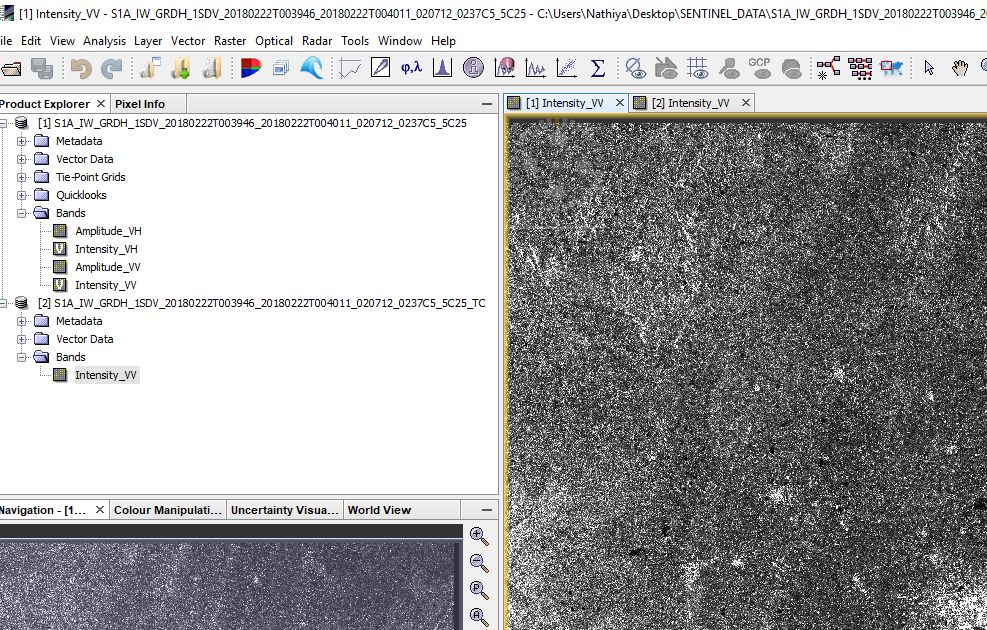
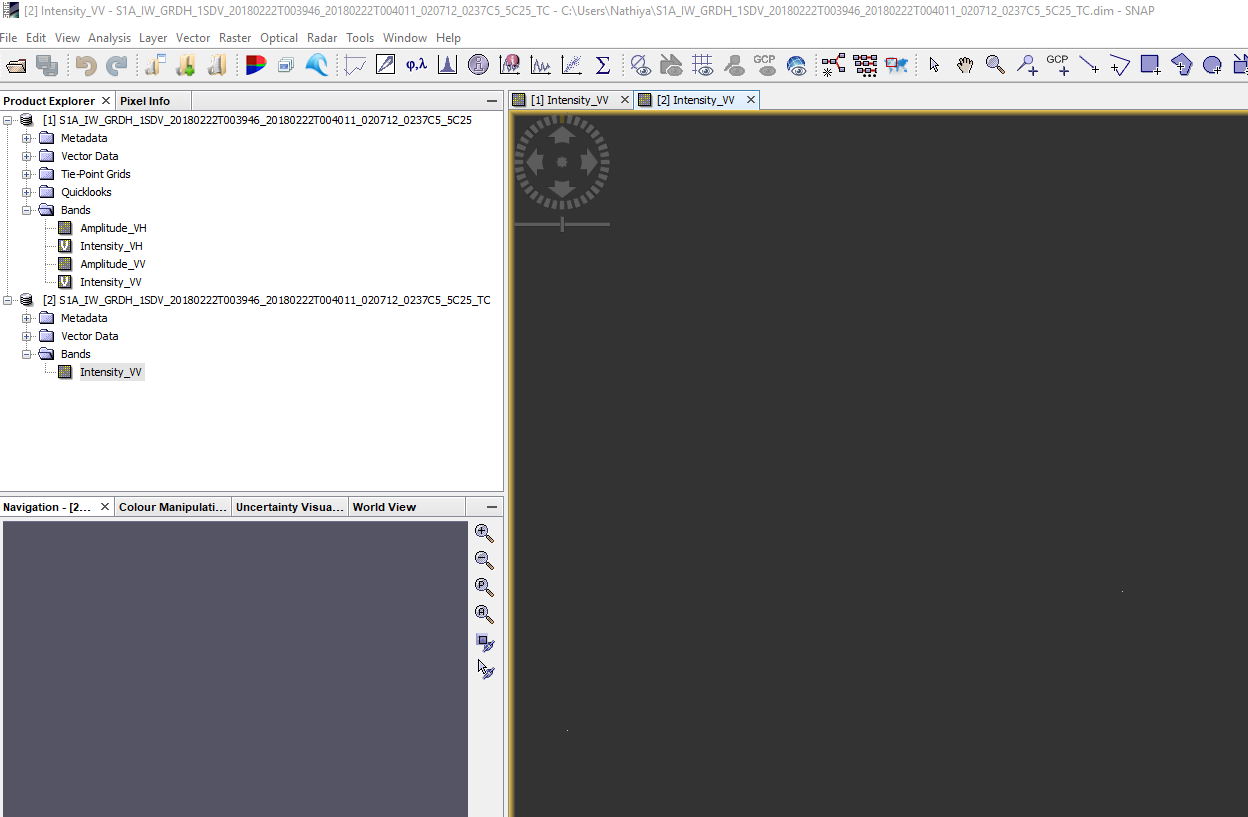
I am facing problem with terrain corrected data. I could not view the image after terrain correction this problem started only with my new work station(32GB RAM,16GHz processor,64 bit ,i7 8th Gen) . But the same image i could see in my old laptop(16GB RAM 4Ghz i5 processor).
I tried reinstalling the toolbox and doing the process but i could see the image after Deburst, speckle filter, calibration and all the other process. But after terrain correction display of the image blank but when cursor is moved X,Y ,lat long values are changing.
Eg:
have you tried zooming in and wait a bit? Different gaphic cards handle these rasters differently (at least in my case).
You can also zoom to the original resolution and wait for the image to build then zoom out. Doesn’t really solve your problem but, as apparently there are values in the raster, it is rather a matter of display.
Hi @ABraun,
I also met this problem. I have tried different images but all got blank. Besides, I tried the image which I had succeeded in terrain correction, but now I can not view the image.