What is the standard way to prepare ASAR Single-look Complex images?
My region of interest is a mountain terrain out of SRTM survey. I have applied:
Orbit file;
Radiometric Calibrate to get sigma and beta;
Then I try to apply Radiometric Terrain Flattening with GETASSE30. But it doesn’t work. CPU is heating, the status bar is “Writing” but in fact nothing to change. Since I thought my processor can’t manage with such large image I attempted to do that with cropped image 8x1 km. But result is the same. The TF file was written only with ASTER DEM but as a black square with gamma = 0 everywhere.
This is because ASTER data is not downloaded automatically by SNAP and therefore no data can be generated. If you are interested in proper radiometric values along the mountain ridges you need to select SRTM 1Sec AutoDownload.
sorry, I overread that. The thing is you will probably not get very good radiometric corrections with a DEM of such low spatial resolution. Is it an option to you to just skip the terrain flattening part (it is not mandatory) and continue processing with Sigma0?
What is the aim of your study?
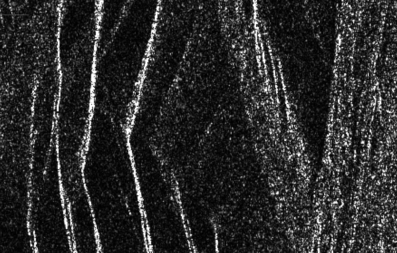
Maybe you can share a screenshot of the Sigma0 data.