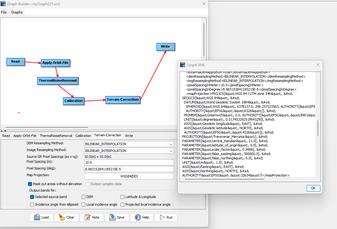
It is true the GUI does not load the parameters correctly but if you process the data the correct settings are taken. Also, when using the graph on the command line with gpt the correct settings should be used.
You can prove this by looking in the metadata of the resulting product or open the Geo-Coding Window for the product. This will tell you which projection the result has.