Hi,
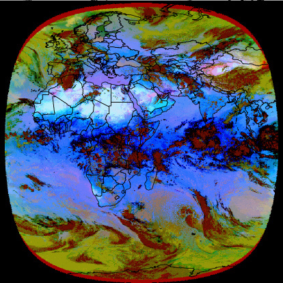
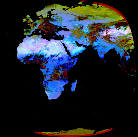
My aim is simply
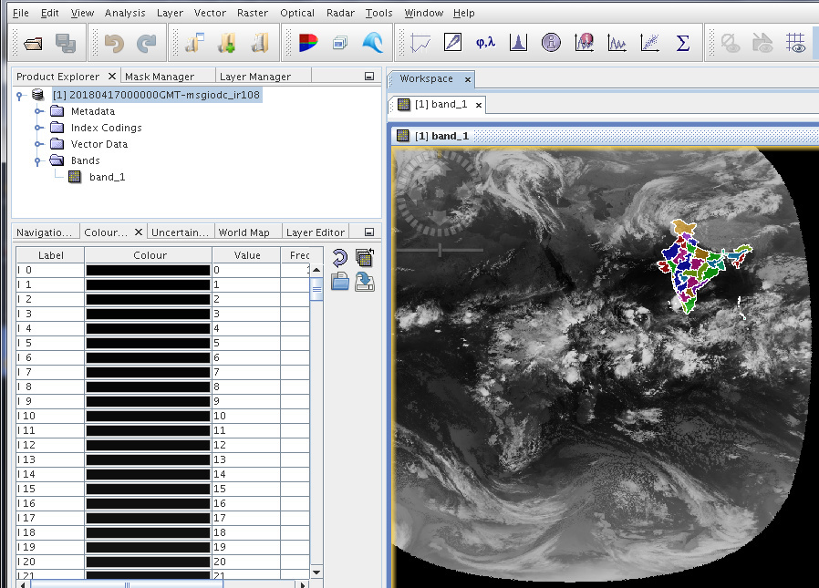
My graph builder look like this.
my graph file is attached here.tiffPlusShapefile.xml (1.9 KB)
Kindly, give suggestions in this regards.
M. Sateesh
marpet
April 18, 2018, 6:02am
2
Is it working if you load the shapefile into the product without using the GraphBuilder?
marpet
April 18, 2018, 7:23am
4
What’s the format of the output product? GeoTiff?
I need output as a png/jpg.
My aim is simply
marpet
April 18, 2018, 7:59am
6
So, what is actually the issue?
Yes, i want to display both land, water with country boundary.
marpet
April 18, 2018, 8:27am
8
I think this is currently not possible.