Hi,
my problem is very similar to a couple of older forum topics, yet the solutions suggested there are not able to solve it.
I worked with these two files:
- S3B_OL_1_EFR____20190819T092946_20190819T093246_20190820T125216_0179_029_036_2160_LN1_O_NT_002.zip
- S3B_OL_1_EFR____20190820T090335_20190820T090635_20190821T134902_0179_029_050_2160_LN1_O_NT_002.zip
with the following workflow:
- load files into the latest SNAP
- reprojection (-> UTM/WGS84)
- C2RCC processors -> OLCI
- open respective conc_chl. img files in QGIS
Yet the result is this map, where the data are 800 m offset from each other.
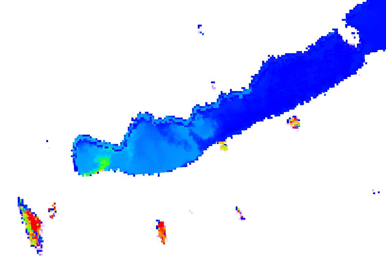
Please help. What am I doing wrong?
Thank you in advance!
Yours
Viktor