Dear all,
As you know, there are some agriculture areas around many cities in the world. When we would like to monitor events such as land subsidence in these cities, we will face losing PS points in agriculture areas. These areas are so important in monitoring because of underground water exploitation more than enough. Does anybody know how can I overcome this issue by 1) any setting in StaMPS time series running, or 2) applying a new method or filter to fix it?
I know that we cannot get PS points in agriculture areas like urban areas but I think maybe we can increase the number of them.
Best regards,
Sayyed
I think you could install some corner reflector in the agricultural covered area, this is one solution, the other solution is leading us to ask, What kind of agricultural area? is it evergreen trees? Or Seasonal crops?
In agricultural area also the availability of some stable objects are playing an important role;
Trying to select low temporal baseline, which could be a good solution to get an area with low green cover and more objects exposure to the radar pulses.
Dear Falahfakhri,
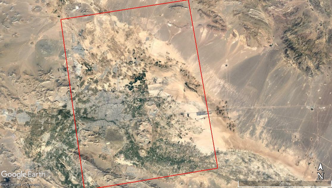
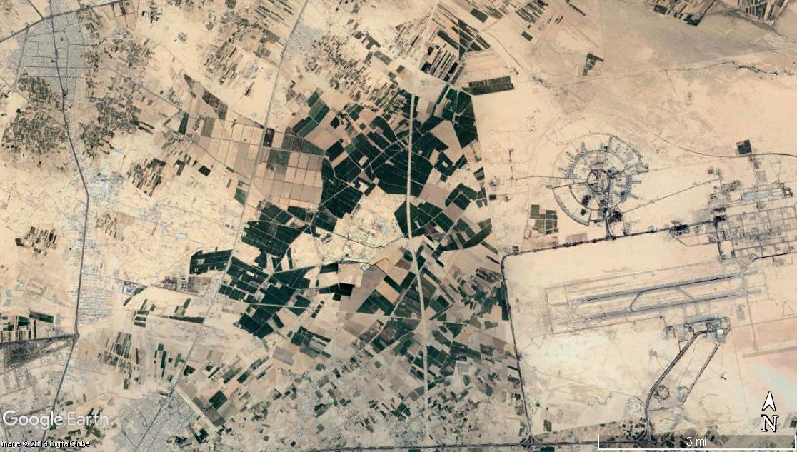
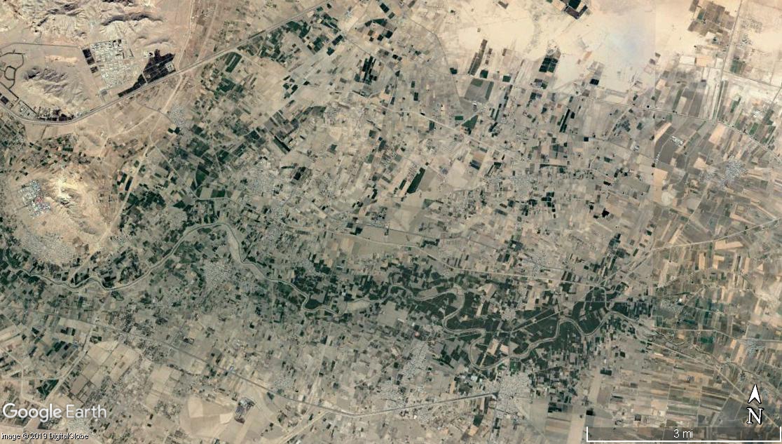
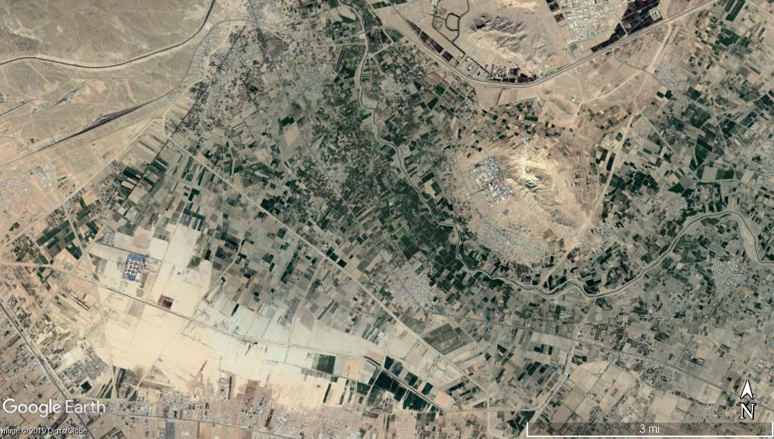
Thank you so much for your information. Actually, It is not impossible for us to install corner reflector physically. I uploaded some images from our study area in the following:
I am searching about the kind of agricultural area in this region but I think that they are not evergreen trees. They are the seasonal crops that are used for people there. I attached the times of used Envisat images. Do you mean that I must process the generate the interferograms between images with the same season to keep the coherency?
slcs.list (180 Bytes)
Best regards,
Sayyed
I think it is possible to do so, in case ENVISAT, you have long- term seasons, let say each season is equal to three months, in this case you have 3 images per season and let suppose that your start from 2000-2012, that’s mean you have at least 26 images, (This solution, in case you intend to get or/and increase the persistent scatterers within your agricultural fields using IPTA, Or PSI technique).
Using GAMMA software it has a series of processing to expand the points in the neighbor area, I’m not sure in case we could apply it using StaMPS.
Dear Falahfakhri,
Thank you in advance for your great information. It is important to say you that I used SBAS technique for this processing because I need to manage unwrapping error by “rsb” and other options in this method. So, Do you suggest to use PS here?
I checked the temporal coverage of my images and I found that unfortunately, they are not good in temporal continuity especially seasonal mode.
Best regards,
Sayyed
I was thinking to give this offer to you, but in your demand you focused on PSI, that’s why, I didn’t like to draw your attention to something else and make you confused. Yes, go a head SBAS could be right solution.
Thank you. No, I need your opinion as a scientist in this major. Do you think that I can get more PS points in PSI method? Because I think that I can run once again with this method and then, compare with previous results. Of course, I am a little worried about checking the unwrapping error in PSI.
I have no idea about the software do you use now this is the first point, the second point is, doing the processing from the beginning it is highly recommended by altering the parameters were being applied concentrating on each change and selection of parameters and its relation with the next step.
Thank you in advance for the time you gave me.
No worries, you’re welcome
Normally SBAS provides higher number of point information than PSI over medium rural environment.
PSI is highly recommended for urban and PS point, while SBAS provide distributed scatters as a result, normally after filtering amplitude, phase or applying multilooking, depending on the approach you used.
1 Like
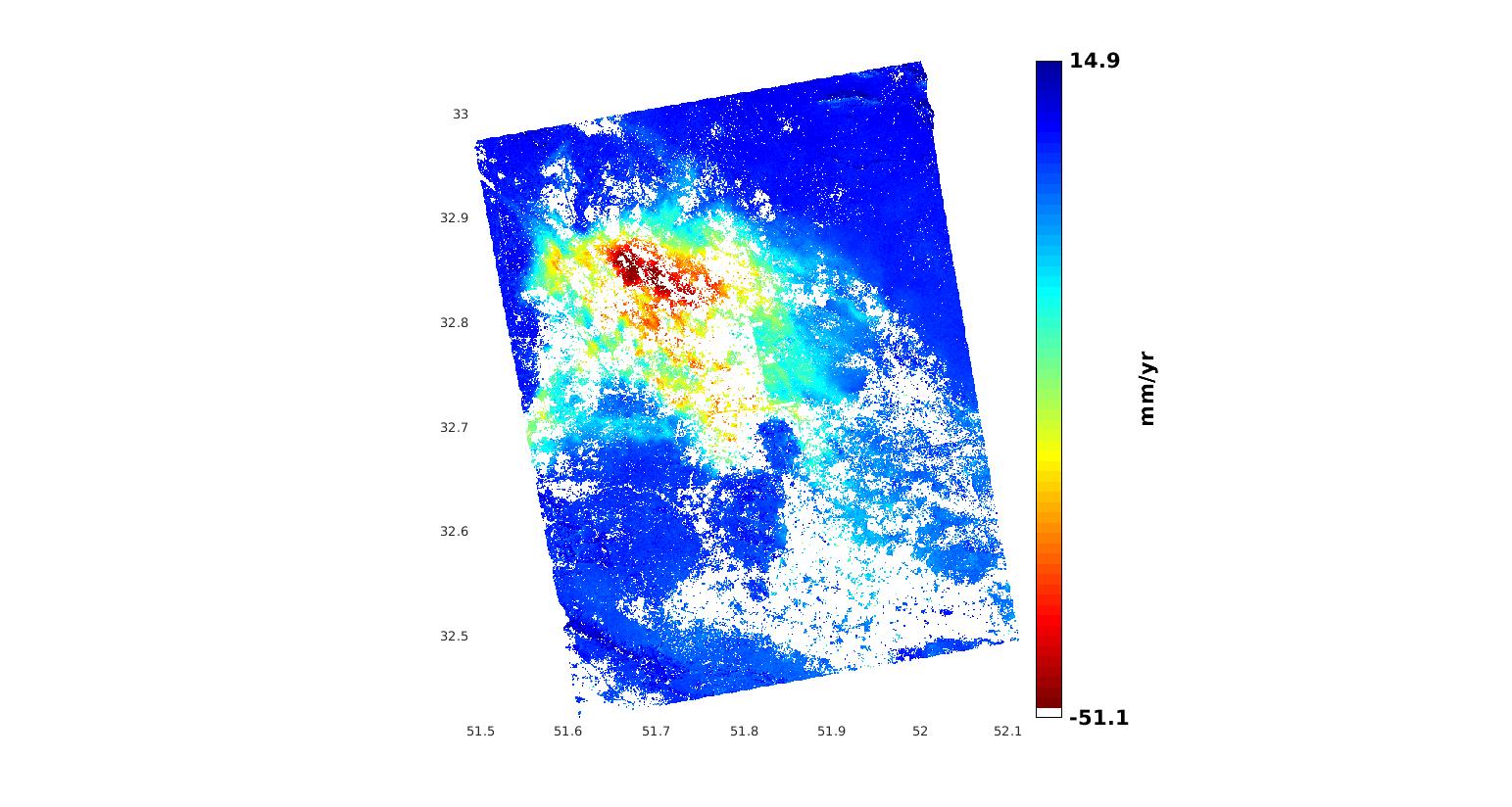
Dear Dr. Delgado,
Thank you so much for your information. In the following, you can see the “v” plot of SBAS running. In most of the cities in my country, there is a lot of agriculture areas where are resulted to miss PS points in processing although we will have major subsidence in these areas. Unfortunately, we cannot access to the rate of subsidence in these areas.
So, I need to know about increasing PS points in agriculture areas.
Best regards,
Sayyed
For standard PSI-processing to succeed you need to have bright pointlike reflectors that are stable in time (“Persistent Scatterers”). If such scatterers are not present at C-band, there is not very much you can do. There are advanced processing methods that can find “Temporary PS” but I’m not aware of a free open source tools that can do such advanced processing.
Dear Mengdahl,
Thank you in advance. Do you know any references about these advanced methods?
Best regards,
Sayyed
Check section 3.2 in this review article:
https://www.sciencedirect.com/science/article/pii/S0924271615002415
Some works have been devoted to the exploitation of temporary or partially coherent PSs, i.e. scatterers that behave as PSs during just a portion of the given data-stack, e.g. see [Basilico et al., 2004] [Zhang et al., 2011][Perissin and Wang, 2012].