I have processed and projected some Radarsat-2 images in the Arctic using SNAP.
I also have a MODIS image downloaded that is projected in EPSG3413 (NSIDC Sea Ice Polar Stereographic North). I have another shapefile that is projected in EPSG 32617, WGS84 /UTM Zone 17N. These both seem to align well, but the R2 images do not quite align with them.
I have tried the R2 images with different projections - including both of the above EPSGs but I get the same problem. I project with ‘average height range doppler’. The area of interest is ocean/sea ice, though there is land in the scene. Is anyone familiar with this issue with R2 / have a smooth solution?
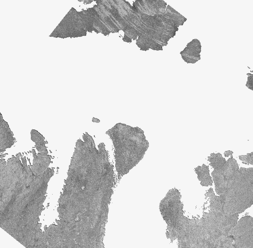
In the example you can see the radar image and the same island from the MODIS offset.
I processed and projected a Sentinel-1 image in SNAP for the same region and this aligns much better with the MODIS and other images - it seems to be a RADARSAT2 issue specifically.
I tried a terrain correction using the Copernicus 30m DEM, but this leads to all the ocean/sea ice areas having 0 dB values - and it is the ocean/sea ice that is of interest. Terrain correction is not something I’d normally perform in my sea ice studies - only ellipsoid correction.
The RADARSAT-2 data products have a very small set of state vectors for the orbits, not extending for much time before or after the scene. Depending on the methods used for orbit interpolation, this might cause some geocoding errors.
Bonjour , j’espère que vous vous portez bien? mon nom c’est kouassi et je travail sur l’étude de la concentration de CDOM dans l’Océan .Mon étude est essentiellement basé sur les donnée comme MODIS , Sentinel 3 et autres données couvrant une grande surface géographique , ce que j’aimerai savoir c’est est-ce que vous avez une idée du type de correction atmosphérique qu’on pourrai bien appliquer sur une image MODIS ?