Actually, I decided this after I ask these questions 
Thank you so much
Hello,
I am currently trying to measure the changes in beta0 values for two SLC images. In order to use change detection on the images, they need to be coregistered. However, I am having trouble coregistering the images after calibration has been applied. How can these images be stacked for change detection after calibration?
Thank you
SLC data require BackGeocoding but this is only applicable at the uncalibrated products.
If you want to stick to SLC data you can apply TOPS Split, calibrate apply TOPS Deburst and then use Radar > Coregistration > Coregistration.
Depending on the scope of your work you could consider working with GRD directly because you don’t want the complex information of SLC products.
Any reason why you chose Beta0 instead of Sigma0?
1 Like
I am trying to follow the same procedure as is described in this paper: Remote Sensing | Free Full-Text | Sentinel-1 SAR Amplitude Imagery for Rapid Landslide Detection
It measures changes in b0 values by using log ratio change detection on a stack of two SLC images which have been calibrated to detect rapid landslides. I was actually able to make it work one time so far with one of the landslides described in the paper. I used the following workflow:
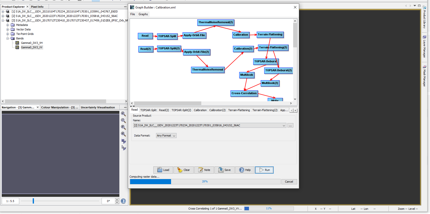
After executing the graph tool, I used log ratio change detection on the coregistered images and applied RD terrain correction and exported to google earth. I type in the coordinates of the known landslide location and observe:
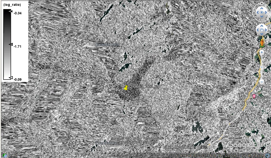
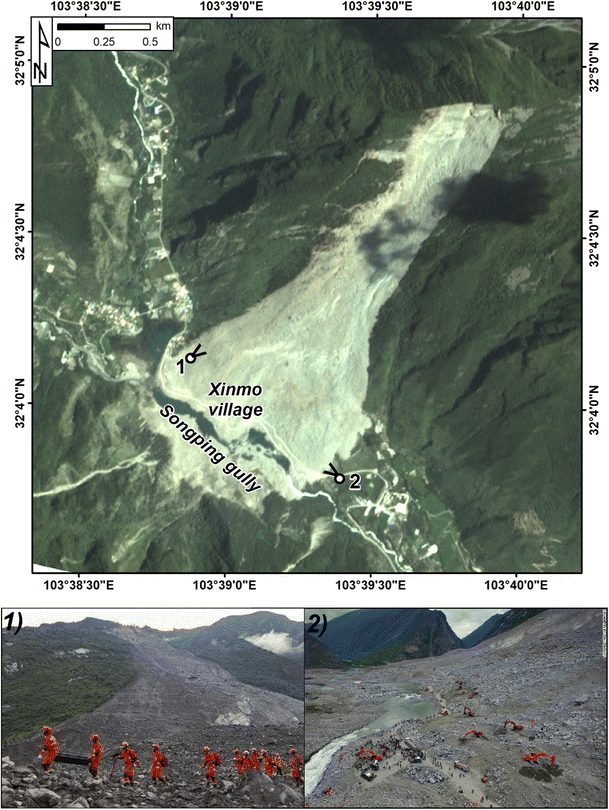
Compared to satellite imagery of the known landslide:
The problem now is that I tried to execute the same workflow on a different landslide location and am getting the error “org.esa.snap OperatorException” or something like that.
edit: “org.esa.snap.core.gpf.OperatorException”
Thank you for explaining it a bit more. Surely helps to understand the idea. Yet, once you apply multi looking you end up with GRD like data anyway. So you could make the processing a lot easier (and less prone to errors) by directly using GRD products.
For example, thermal noise removal is not recommended for SLC data:
1 Like
I started using GRD data and the processing seems to have improved however I am still verifying the results. I got in touch with the guy who wrote the paper and told me that in SNAP 6.0 it was possible to coregister but not anymore. He uses the following workflow:
"1) radiometric and geometric corrections of the single images (procedure in attach)
-
co-registration using cross-correlation (in my case I select NN as resampler) and I just processed two images, it works (picture in attach)
-
filtering. The type of filter depends on the classification method: manual vs automatic (parametric vs non-parametric)
-
CD
I prefer working in SAR coordinates, but interpreters don’t, so, in case of visual interpretation (see https://doi.org/10.1016/j.geomorph.2021.108021) → orthorectification."
That’s not really true. You can coregister both SLC (using BackGeocoding) and GRD products (coregistration) in SNAP. Especially when you only use backscatter intensities (raw or calibrated) using using GRD data makes more sense in many cases.
Apologies sir when I open the images that I download it appears in SNAP like these samples. not like every time, what happened. please can help me to solve this problem.
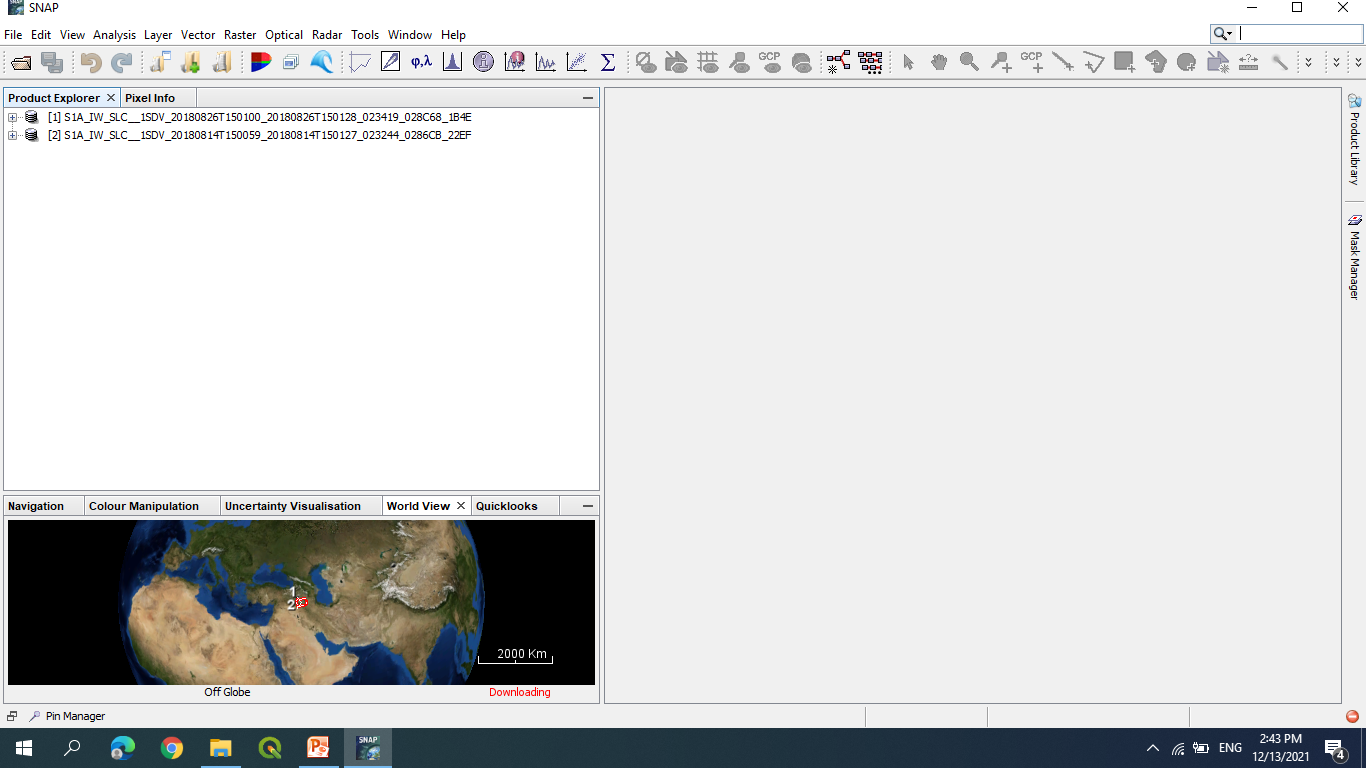
When products cannot be opened in SNAP chances are high that the download was not complete.