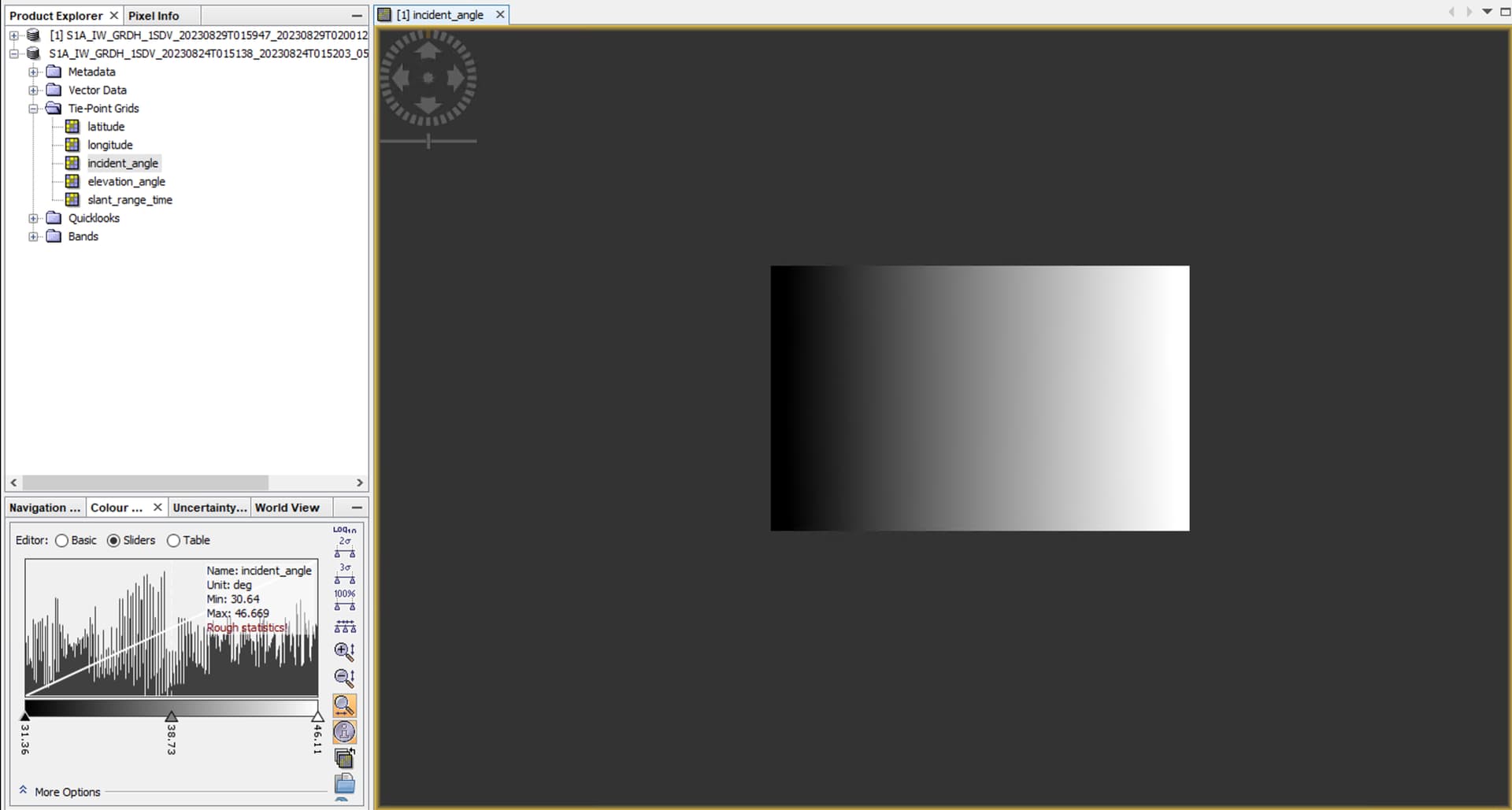
I am really stuck trying to read the metadata of a Sentinel-1 product (S1_IW_GRD) in python. In SNAP it is possible to get an interpolated map of the incident angle (attached image) from the tie-point grids but doing it in SNAP isn’t scalable enough for my application - I have 100s of tiles. Is it possible to read the incident angle from the tie point grids directly from the metadata in python? From there I can write a function to do the interpolation.
I have tried using the xml.etree.ElementTree to parse the xml file but my lack of familiarity with the headers has limited what I have been able to do.
Delving into the intricacies of Sentinel-1 product metadata in Python poses a challenge. While SNAP offers an interpolated incident angle map, its scalability falls short for handling numerous tiles. Can we bypass SNAP and extract the incident angle directly from metadata in Python? This could revolutionize our approach, offering efficiency and scalability. Let’s navigate this path together, leveraging Python’s power to unlock the potential within the metadata.