Hello, I have created a displacement map, and after removing areas with low coherence, I interpolated the whole surface using subsidence obtained from high coherence point.
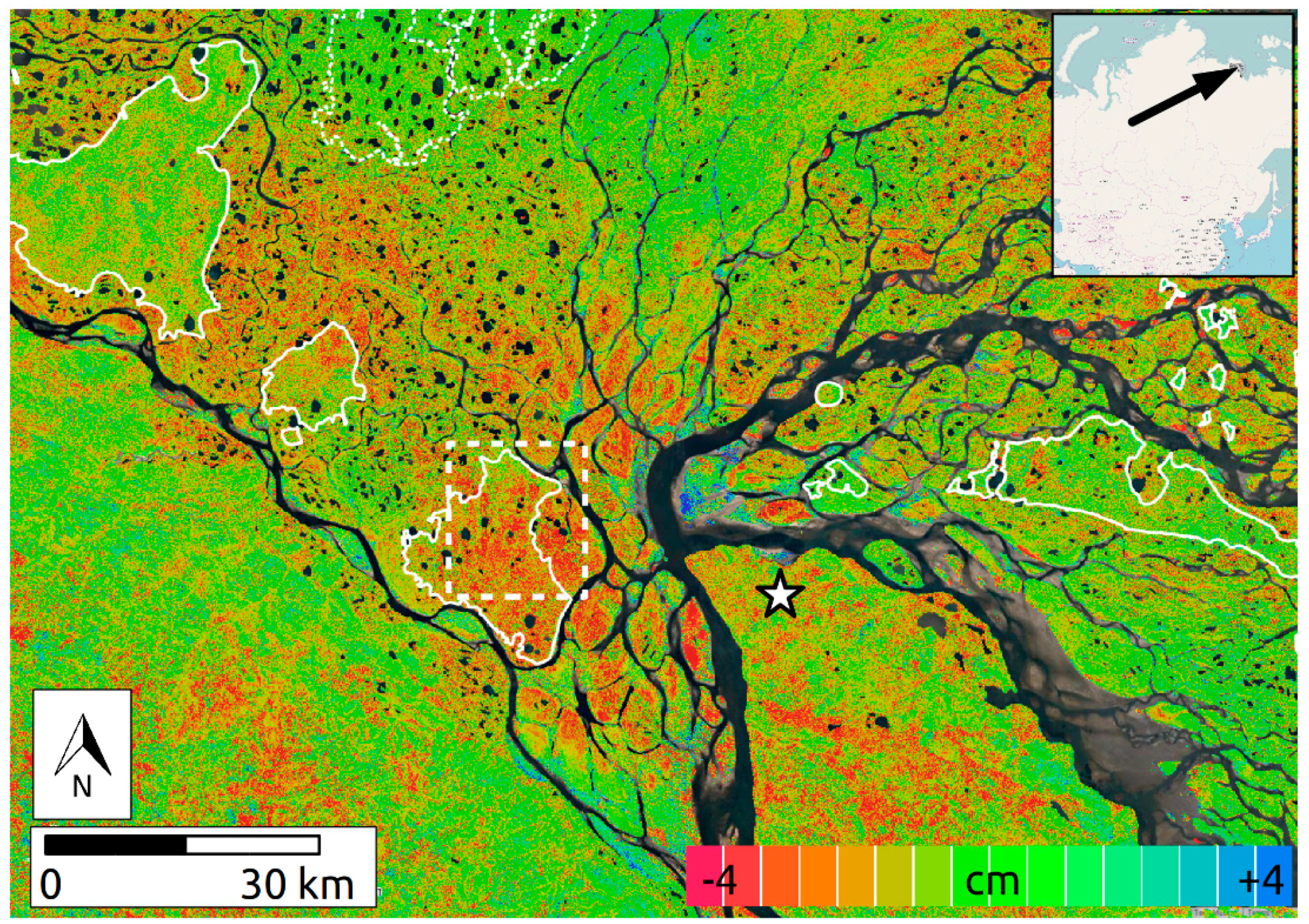
But, I do not want to show subsidence/uplift in water bodies. So how do I do that? I know using water index to satellite image can be done to identify water bodies, but what do I do after that? Certainly creating polygons for each water body is not possible in my case. I want to produce maps like one shown in the figure.
Any help will be appreciated.
Thank you
if you manage to create a water mask based on the intensity, you could use it as a valid pixel expression.
For example, you create a binary raster by applying a threshold on your backscatter intensity in the band maths: Sigma0 < 0.05
This would result in a raster product (lets call it ‘watermask’) where 1 is water and 0 is no water (depending on the threshold).
if you then enter this in the valid pixel expression of your displacement you can formulate watermask == 0
which then makes all areas of water transparent.
Have a look here on the generation of water masks:
yes, but thinking of it, the intensity in the interferogram stack has quite poor contrasts. You could apply a log transform to it (right-click > convert to db), to increase the contrasts between black water and bright land.