I processed the Sentinel-3 OLCI product :
S3B_OL_1_EFR____20190813T020357_20190813T020657_20190813T034801_0179_028_331_2340_LN1_O_NR_002.zip
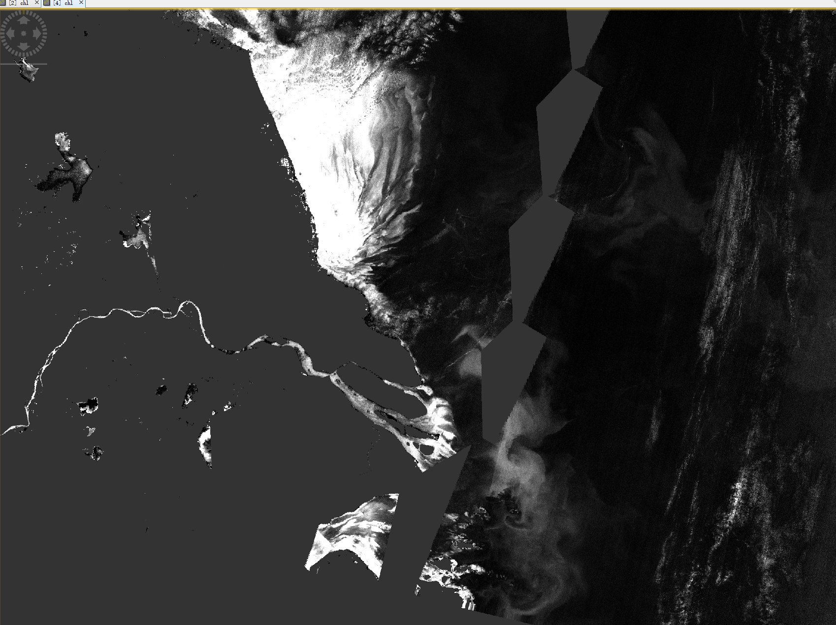
with the Thematic Water processing tool: MPH/CHL Processor and got the result image which is Ok by visual inspection:
Yes. The latest version,SNAP 7.0 .
Not only data for this date of Sentinel-3 OLCI has the unexpected resdult, but also some other dates encounter this issue. It seems the results from Thematic Water Processing Processors might record the georeference from the original OLCI data products, or might be Reprojection tool doesn’t read georeference from Thematic Water Processing Processors results properly.