Hi, i am doing a RF supervised clasification with the periphery of tunisia. What can I do to make the classes more specific?
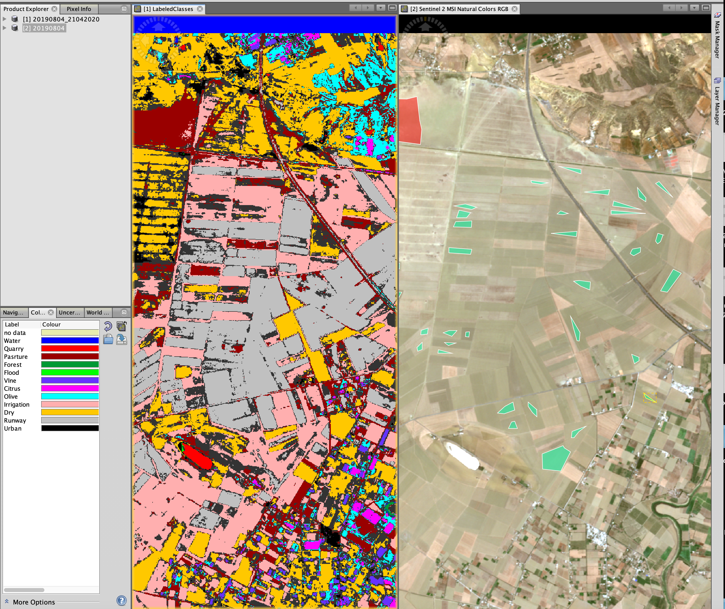
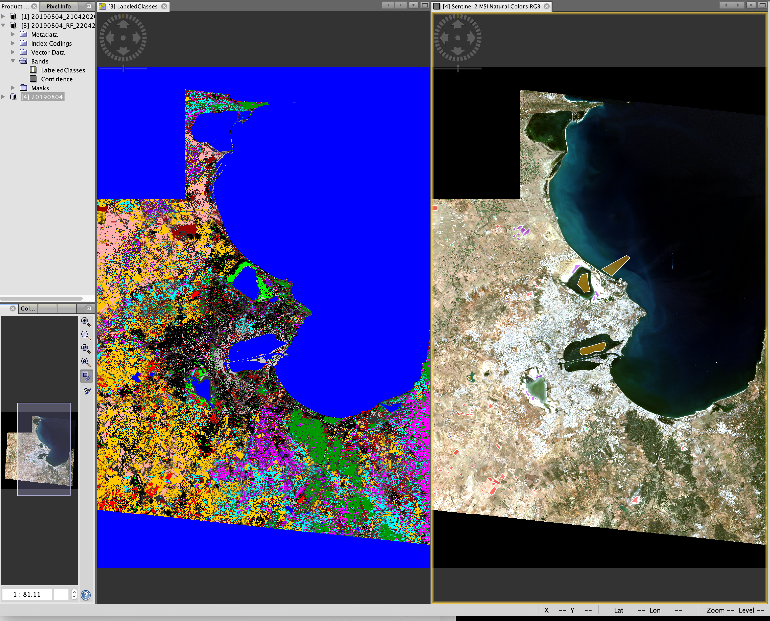
In many areas, like the ones in the image, the vectors I made are confused
It is normal that there is confusion between classes. If you want to improve your results you need to add images where there are spectral differences between the classes in question.
You should try using several input images at the same time, from different times of the year/growing season.