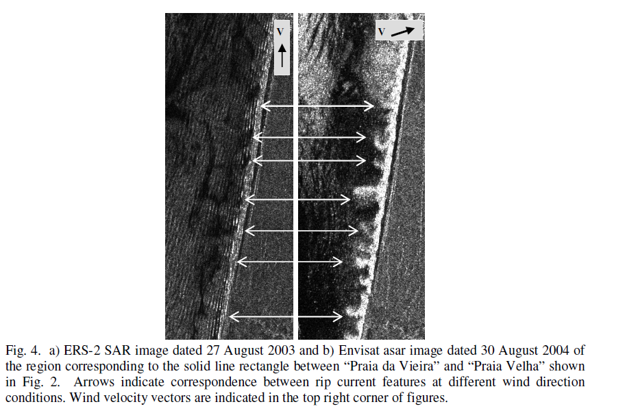
I need to detect the rip current feature from S-1A GRD datasets. This feature generally occurs within the wave breaking zone due to the variations in the shoreline morphology. Generally, this feature is identified from aerial images by the gaps in the wave breaking. The spatial scale of the rip channels is in the range of 100-500m. This phenomenon last for few minutes to hours.
The following reference demonstrates the detection of rip currents
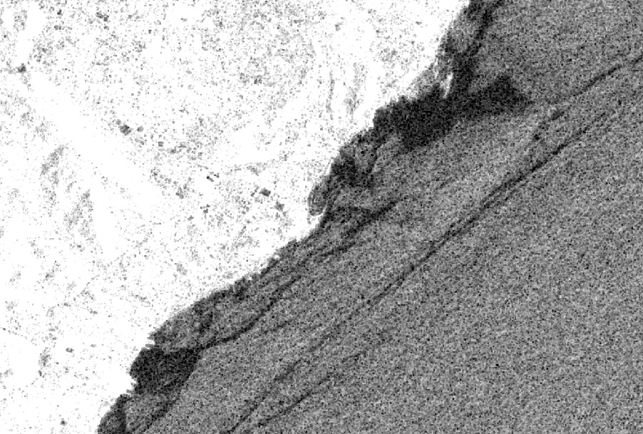
MY CASE STUDY : VIZAG BEACH , NORTH EAST INDIAN OCEAN
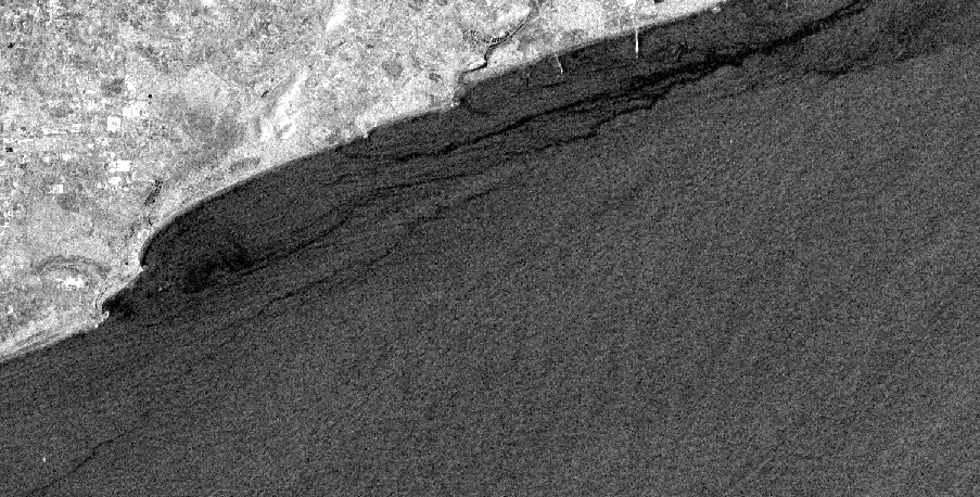
I have downloaded S-1A data , terrain corrected it, applied lee filter, finally converted to vv_db scale.
My queries are as follows:
- to resolve coastal ocean features like rip currents/channel detection, which filter is optimal ?
2.i applied the morphological filters too, but could not able to see the coastal feature. Are there any other filters ?
- can any other processing method help me to detect rip currents near the shoreline ?
Kindly suggest