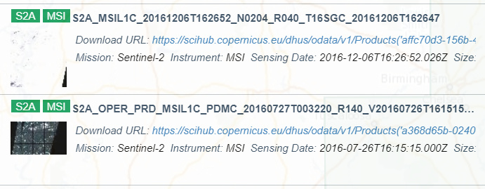
I’ve been viewing S2 L1 MSI imagery in Google Earth Engine prior to downloading them from the Copernicus open access hub. Some of the images I am interested in downloading are from 2016. In Earth Engine, there is a pretty consistent database of images; however, in the open access hub there is a large gap between July and December 2016 over my area (see attached snapshot). Does anyone know why this is or know where I can download these images? Also the images in early 2016 appear to be a different product with “OPER_PRD” in the file name - does this mean these images were collected during the pre-operational period?
scihib sometimes reprocesses data and removes older versions. Up until now, EE has not been removing such decataloged assets, but we are going to start very soon.
Thank you for the explanation, and thank you for maintaining the EE catalog - this tool has been incredibly valuable in my research! Do you think we should exercise caution when using older images? Could you refer me to any documentation that describes the differences between different versions of images?
Happy to help. You should always exercise caution when you have no direct control over your data sources, especially with something as large as S2 (about 6M images by now).
I’m not especially familiar with details changes in S2 processing. You might want to read the quality report documents found here (the most recent report is here) and watch news updates on scihub