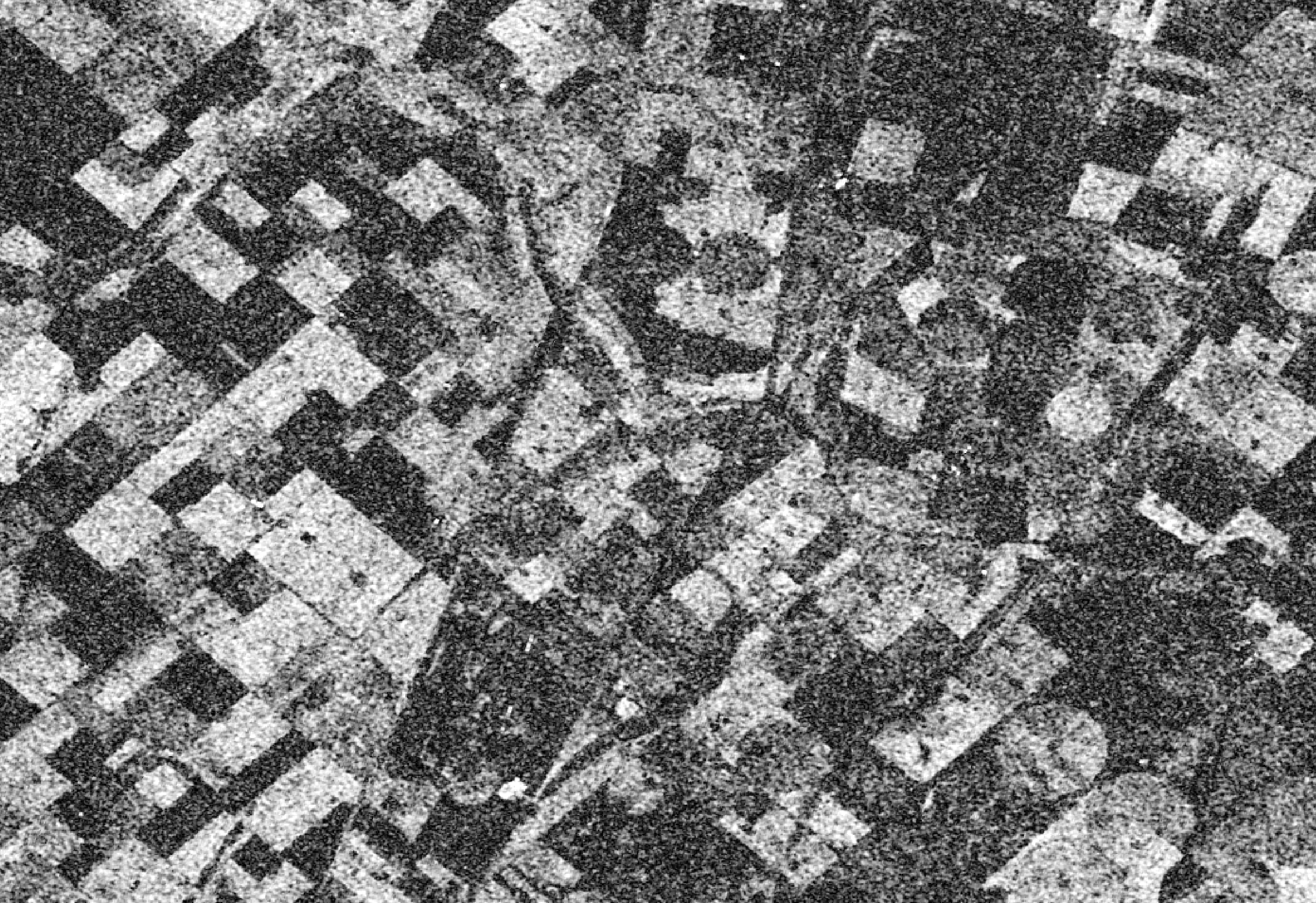
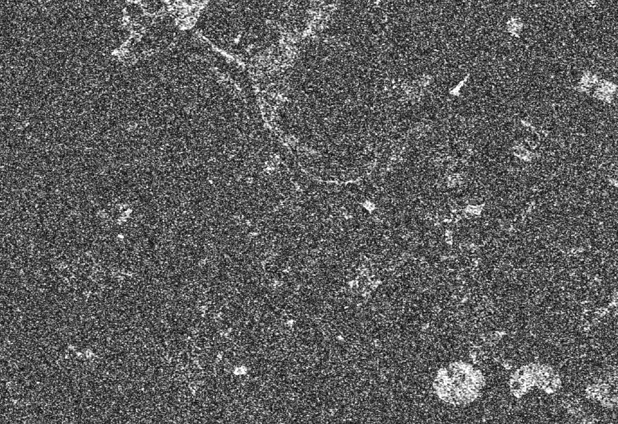
I am working with coherence maps over agricultural zone in Argentina, for crop classification.
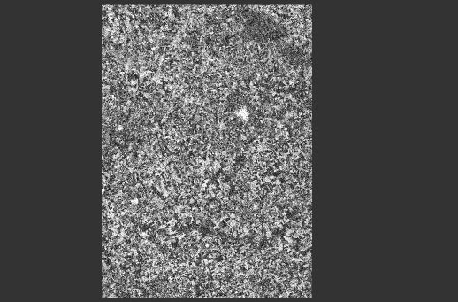
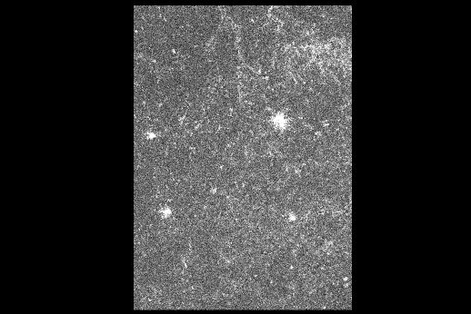
I carried out two coherence maps, but one of this have a low coherence. Both are six (6 days) temporal baseline. Considering that spatial and temporal baseline are short, why second coherence maps have low coherence?? Can I help me?
have you selected “remove topographic phase” for both maps? I found that it makes a difference for coherence as well.
if there was heavy rain between the first and second image of the second coherence map, crops might have bent which leads to drastic decorrelation. As soon as the main scattering mechanism is altered (e.g. volume scattering to surface scattering) coherence decreases significantly.
Our hypothesis are orbital error or bad focalization in acquisition 29Apr2020. Because the behavior is the same in the three swaths (IW1, IW2 and IW3). For this reason we discard possible heavy rain or weather effects.
have you tried how the coherence looks without the orbit files applied. Sometimes errors are introduced if orbit data is (very rarely) of faulty quality.