I am exporting the color palette in .txt format from SNAP and trying to import it into QGIS but It is unable to read it.
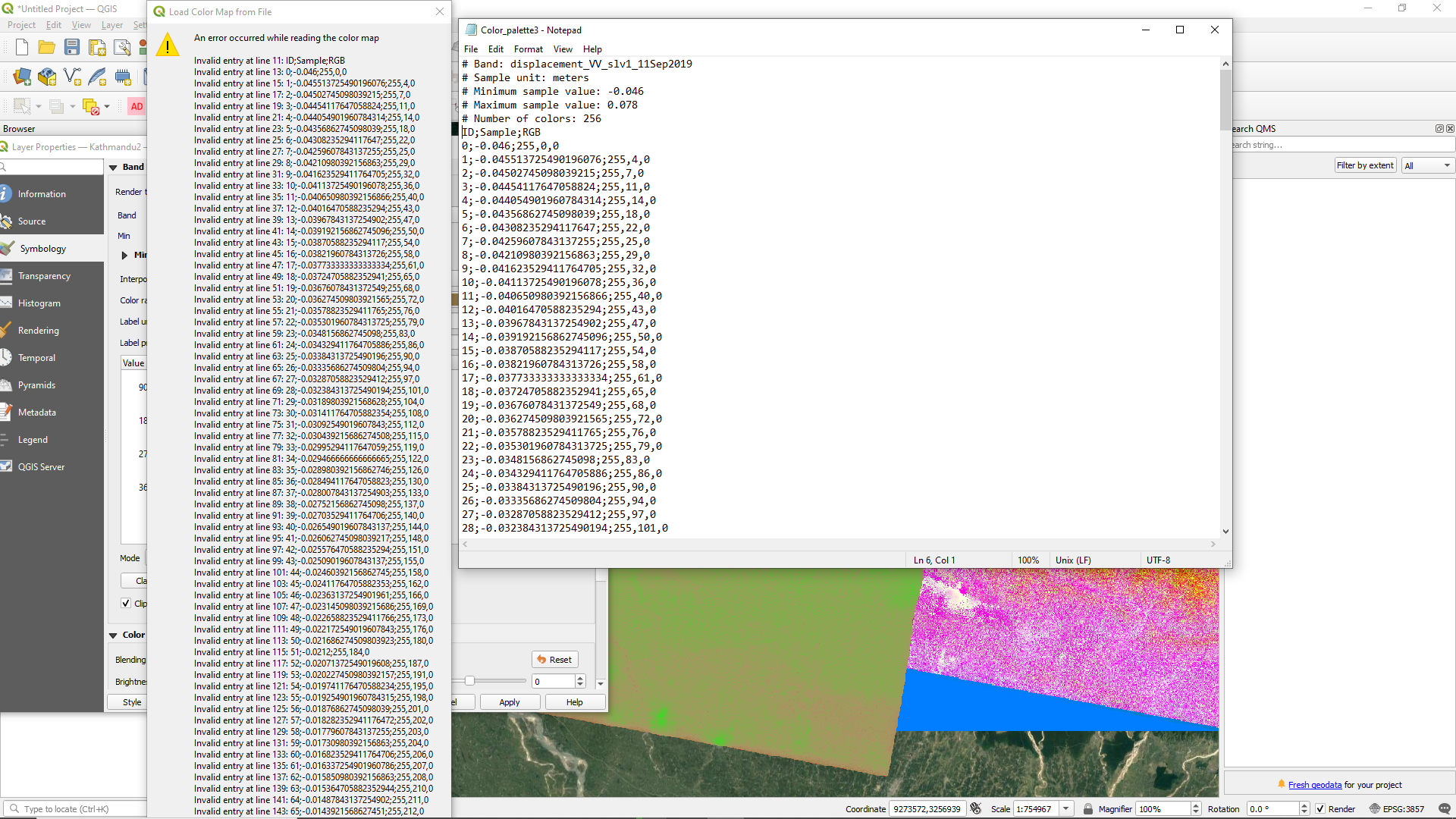
Anyone please help.
I am exporting the color palette in .txt format from SNAP and trying to import it into QGIS but It is unable to read it.
Anyone please help.
The colour palette is not meant to be imported in QGIS.
It is not a format QGIS can understand.
SNAP does not export a generic palette which can be imported in other software.
Better ask this the QGIS support.
please also have a look at this tutorial: Export of products from SNAP
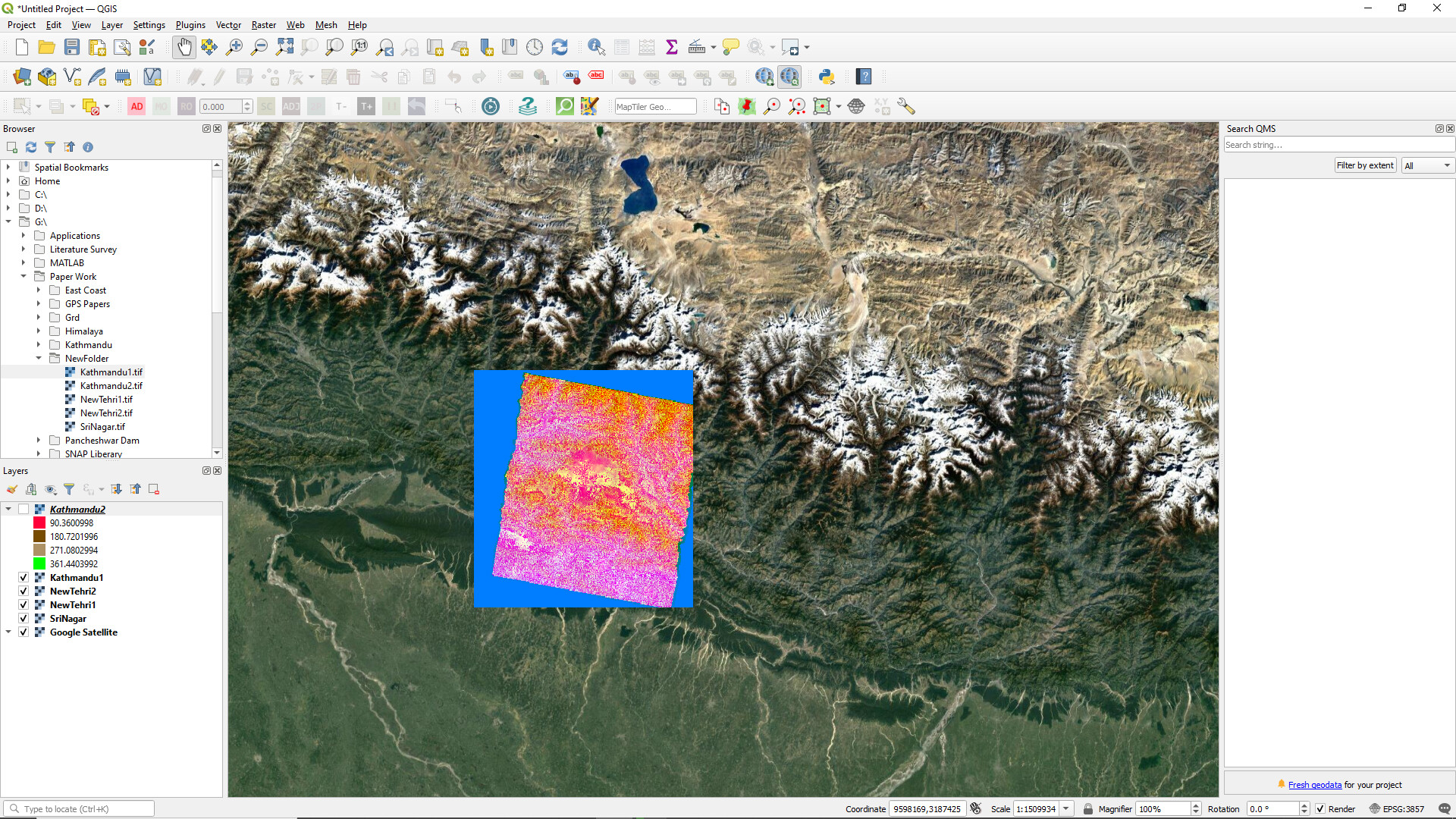
First you make sure that you only load one raster into QGIS, preferably the .img file inside the .data folder, because the GeoTif export mostly exports stacks.
Then you select a "singleband pseudocolor " symbology and select a suitable range and palette.
So, in order to display multiple bands from one product (phase, coherence, intensity, etc.) on QGIS, they must be exported individually as image files, instead of exporting them altogether as a single Geotiff file, right ?
You can directly open them in QGIS and create a stack there (“create virtual raster”). I don’t recommend exporting a InSAR stack with different contents (phase, coherence etc.) as GeoTiff, because they have different units, dimentsions and so on…