Avalanches surely destroy coherence completely.
thank you. Try 'to question two other dates file in the months not covered with snow. Last file which contains a breakdown flanges I have highlighted with a yellow arrow, are the are the Italian center of the earthquake 6.5.
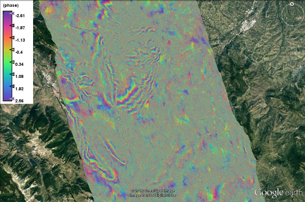
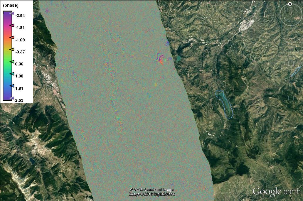
Thanks for your valuable comments and advice. In the following photos I ask you, two time intervals from October 2016 al January 1, 2017 and another one where you do not see any fringes is October 2016 to 19 January 2017, with 10 days of difference. At this time came the snow, possible that the snow has covered the satellite and interrupted the natural geological soil movement? thank you.
Thanks for your valuable comments and advice. In the following photos I ask you, two time intervals from October 2016 al January 1, 2017 and another one where you do not see any fringes is October 2016 to 19 January 2017, with 10 days of difference. At this time came the snow, possible that the snow has covered the satellite and interrupted the natural geological soil movement? thank you.
if soil movement and snow cover come together, their effects on the phase add up. I think it is quite impossible to discriminate their contribution on the interferogram from the image.
thanks, then with your words, even if you fall a lot more snow would put in evidence the flanges previously observed? Did I understand well ?
What does their effect add up? thank you so much
thanks, then by your words even if she fell so much snow still would have highlighted the flanges observed previously? Right? did I get it right ?
I’m afraid I don’t get your question.
Snowfall destroys fringes (decorrelation through different backscattering mechanisms and slightly altered heights)
Soil movement also destroys fringes.
Both together destroy fringes even more. That’s all you could say by comparing the interferograms.
My research question is aimed at researching a subject to major earthquakes territory. given that it is very evidently slowed la.deformazione could be the subject of prior earthquake study
thank you . I have to use to take advantage che.file avere.una resolution also 500 meters dal.suolo? ho.utilizzato S3 file but not better ho.risultato.
Ottieni Outlook per Android
my Italian isn’t very good, please stick to the English language if you want others to help you.
Automatic translations are not a good idea in terms of discussing research aims. 
thank you.
even my English is not good.
how can I have a high resolution in real time Sentinell 3
Ottieni Outlook per Android

Dear friends
How can I get FTP files Envisat Asar? Thank you
Hi Sarelf
You can to access to information about ENVISAT through the this link https://earth.esa.int/web/guest/eoli
help me friends.
I downloaded the file Envisat Asar, you tell me the steps to create an interferogram? step by step … thanks
The Stripmap interferometry tutorial should be similar for ASAR. For ASAR, use the DORIS orbit files. The rest should be the same.
http://step.esa.int/main/doc/tutorials/
1 Like
Can I use SNAP or by force S1 SPTX? thank you
Hi sarelf
You can to use SNAP!
Thanks
Not …tsplit?
Orbit…correg…deburst…interferometric??