Hi everyone,
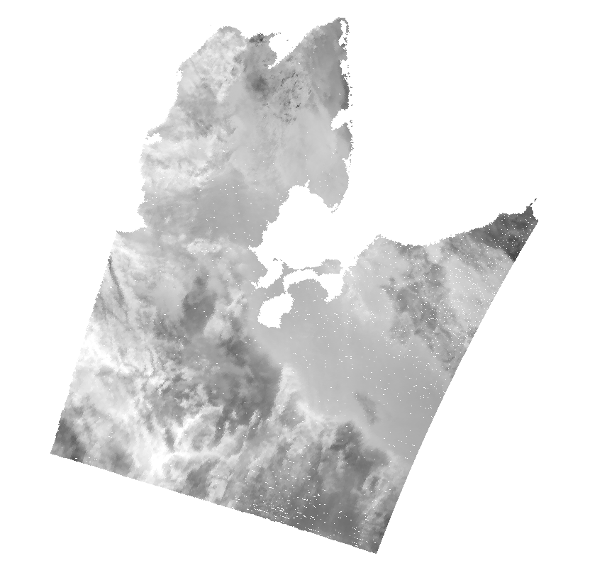
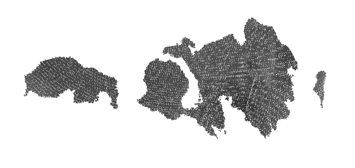
I am currently using GPT to subset and reproject L2 SLSTR LST nc files. Unfortunately I get important geocoding problems (missing pixels), increasing with latitude. Below are two examples around 66N and 80N, respectively.
Here is the very simple graph I’m using:
S3.xml (1.2 KB)
and the GPT call:
 gpt S3.xml \
  -PSLSTRsource=my_source \
  -PtargetFolder=my_target\
  -Ds3tbx.reader.slstr.pixelGeoCoding=false \
  -Dsnap.log.level=ERROR \
Following this issue, it seems turning pixelGeoCoding off should solve the issue but I don’t see any difference…
Thank you a lot in advance for your help!