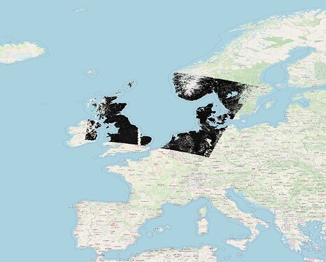
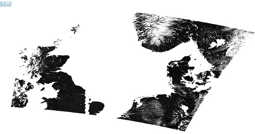
I’ve had applied reprojection to a Sentinel-3 SYNERGY product and exported it as a GeoTIFF file without any problem. However, when I export it as NetCDF, the position of the pixels on a world map gets completely out of place. The phenomenon occurred with both fully updated SNAP Desktop 11 and snappy. See figures below (obtained from QGIS) showing the differences when selecting different file formats. Note how in the case of NetCDF, the misalignment is so large, that the world map appears really tiny in the top left corner. Why does such problem happens with NetCDF?
- GeoTIFF:
- NetCDF:

