I am trying to correct the incorrect Saocom geolocation (no precise orbits) using a DEM. I tried Calibration → Multilook → DEM-assisted coregistration with XCorr, and then planned to apply Terrain Flattening (TF) and Terrain Correction.
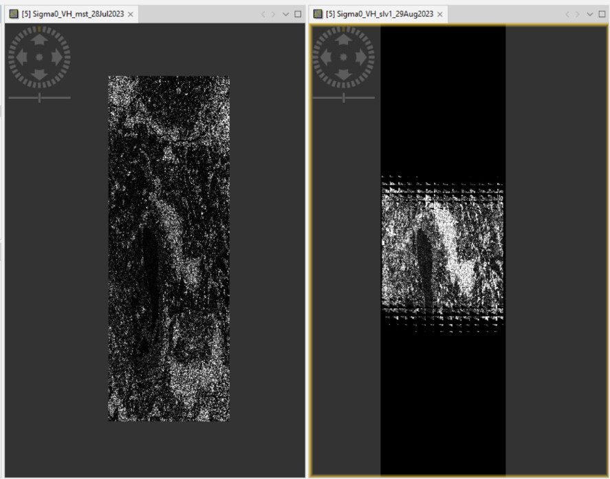
With DEM-assisted coregistration using XCorr, is the master image also shifted according to the DEM-simulated image? In any case, the slave image shows these artifacts.
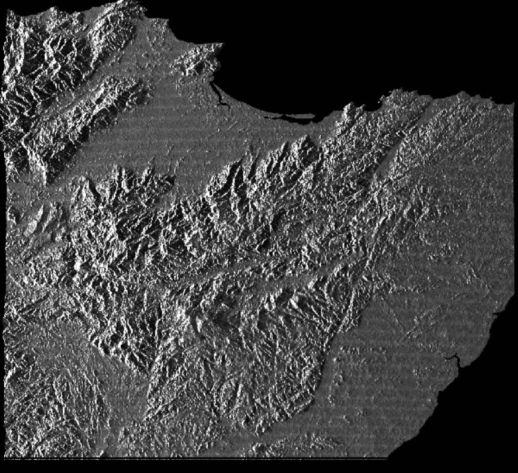
Finally, I tried the SAR-simulation Terrain Correction, and it seems to work. However, it is not possible to do the Terrain Flattening afterward. If I apply TF first, would it be incorrect due to the wrong georeferencing?
Do you know how should I proceed?
Thank you,
Benedetta
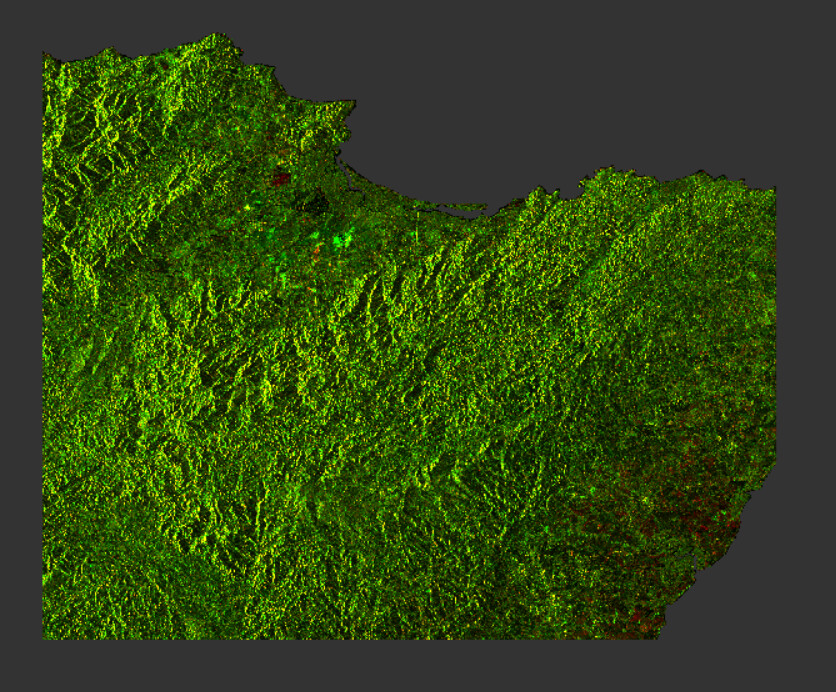
I followed the steps you mentioned (calibration, multi-look, DEM-assisted coregistration with XCorr and SAR simulation) with a pair of SAOCOM SLC Stripmap images using default parameters, and the process appears to have worked correctly for me in SNAP 12.
Hi rahepu, thanks!. Sorry for the late answer. If you check an ascending and a descending, are the well coregistered? Because I still have a shift for several meters
I have a similar issue with DEM assisted coregistration for the saocom stack, where the coregistered SLCs show inconsistent shifts across several images and similar artifacts. Meanwhile, coregistration using cross-correlation (Radar → Coregistration → Coregistration) appears to work correctly.
I’ve noticed that with L-band data like SAOCOM, the DEM-assisted method can sometimes struggle if the orbits aren’t perfectly precise or if the terrain is particularly complex. Switching to the standard ‘Coregistration’ operator is a solid workaround.