Dear people,
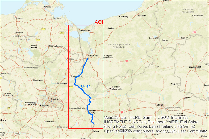
I’m currently working on a research-project dealing with ice-jams on the Oder River along the german-polish border. To gather information about historical ice-cover - e.g. extent, location - I am focusing on satellite radar images like Sentinel-1 (since weather conditions in the winter period go along with cloud cover for many images), but also on optical satellite-images like Sentinel-2 if conditions are fine. The optical images also help verifying ice-jam data derived from radar images, since the radar-images are a little challenging for interpretation dealing with ice-processes.
So here is my question:
Which other satellite-missions (radar or optical) can be used for historical and future research (1991- today) on ice-jams on the Oder River along the german-polish border (AOI: see graphic below) besides Sentinel-1 & -2?
So far I know about ERS-1 & -2, Envisat, ALOS. You’re help would be appreciated a lot. It would be great if an access-link to the data-platform could be added and to say if images are free of charge or need to be purchased.
Thank you very much in advance and hope to hear from you guys
Kind regards
Fabian