Sorry, if this question is not very relevant to SNAP toolbox but as I used SNAP before and plan to continue it for this work, then I can be thankful, if somebody answer me.
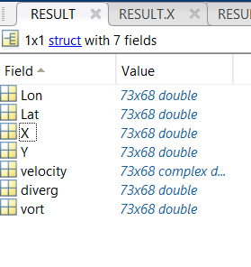
I received an algorithm that data are saved in mat format (figure1). I plan to save data in geotiff and then use them in SNAP but I do not know how???
Figure1
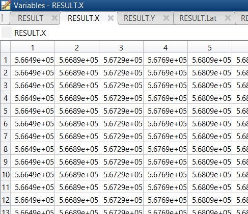
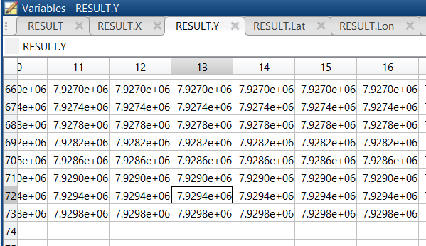
As I know, X (figure2) and Y (figure3) in map projection (UTM) but I do not know how can I save them in geotiff. I think I should use some tags like in below but I do not know how should I write it for ‘UTM’??
I do not know what is difference between ‘UTM’ and ‘UTM with zones’? for example ‘X and Y are saved in UTM’ but what is their zone? They do not have zone?
If it were me I would write your X, Y and intensity data to 3 columns. 1st column (X), second column (Y) and third column intensity. You will need to concatenate your X, Y and intensity data by column. Once you have a 3 column matrix I would export it as a txt file or something and then import it into Q GIS and visualize as points. Then, I would use the vector to raster tool to create a raster! I am GIS inclined, so that would be my solution. I am also not a big fan of how Matlab handles rasters (personal preference).