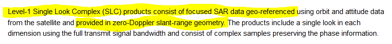
The SLC image is provided in zero-Doppler slant-range geometry;
therefore there is no need to unflip your interferograms, by applying Range-Doppler Terrain Correction, because mt prep snap is used these parameters in Slant range,
Take a look at this post Range Doppler Terrain Correction,