Sentinel-1 Coherence change detection/eartquake damage in urban area

Hello everyone. I am new to forum and this is my first topic.

I want to do CCD in urban area to see effect of earthquake which is 6 february Turkey earthquake. Thousands of buildings collapsed so i thought i could detect it with sentinel1.
I have tried many different tutorials from youtube but either didnt worked or result was bad.

S1A_IW_SLC__1SDV_20230128T153358_20230128T153426_046986_05A2B6_1629
S1A_IW_SLC__1SDV_20230209T153357_20230209T153425_047161_05A88A_BB1A

Those are the 2 images i used. Before and after the EQ.
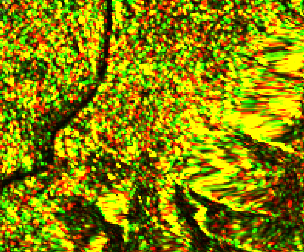
I got this kind of results like below which i do not really able to read.

If i could get some help that would be perfect. I have deadline ahead and kinda panicked.

Thank you all in advance

Hi,
can you give some more details on what processing steps you have done and which software you have used. And then it might be easier to understand your output.

Hello,
i have followed this video just to try.
Steps are : Split, Orbit, Calibrate, Deburst, Multilooking, Terrain Correction. Then also making Geocoding and Coherence estimation.
I use SNAP software. All i want is as a result, a image shows changes between two dates with some spesific color.

Thank you

The image looks like intensity and not coherence. Multilooking is not advisable due to degradation of resolution. Also, coherence estimation needs to take place before geocoding.