Hello,
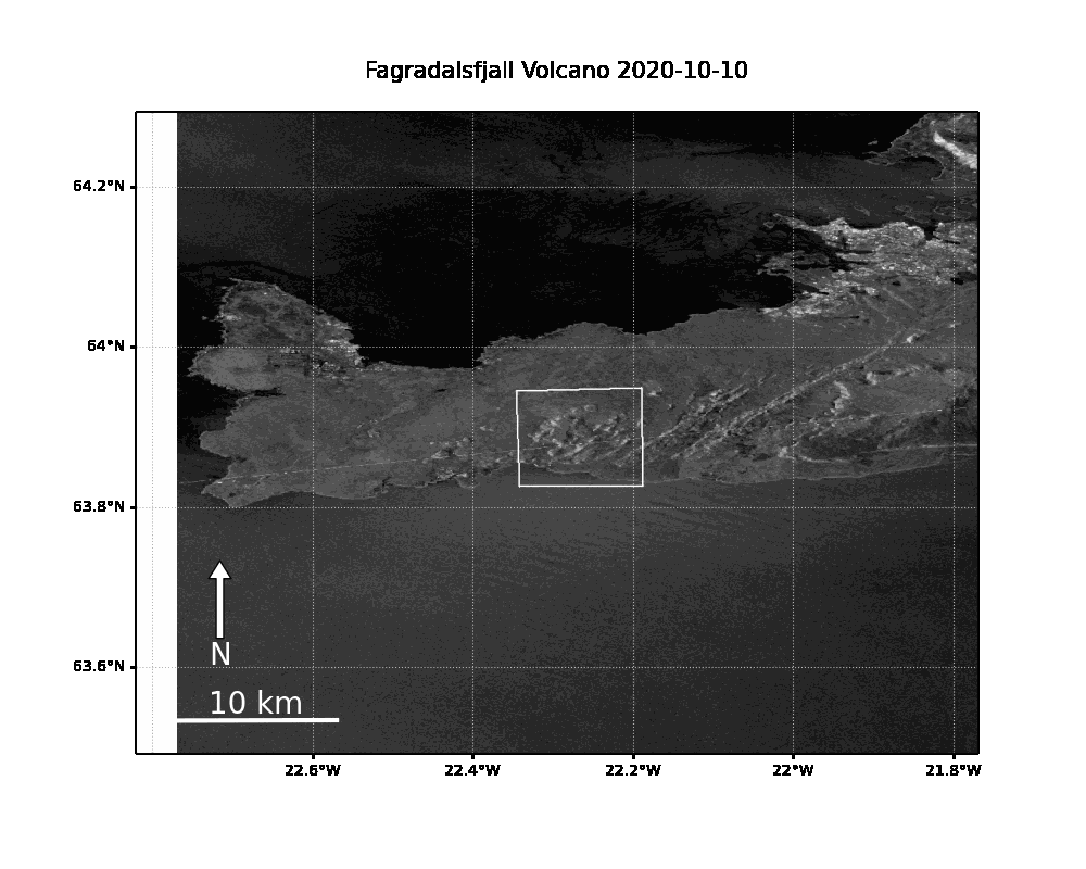
I was previewing the Fagradalsfjall volcano in Iceland using Google Earth Engine but I observed some large scale distortion which can be seen in the animation below. I know Iceland is very volcanic but I assume this is due to some processing error or signal error due to the large area of distortion. (please correct me if I’m wrong)
Timelapse animation of the Peninsula region using Sentinel-1 VV imagery (ascending pass). IW mode. Some distortion can be observed east of the volcano.
If I process all this data manually in SNAP is there still a way to reduce this distortion?
Some useful info:
GEE Preproccesing workflow
Information regarding Earth Engine’s terrain correction processing:
- Converts data from ground range geometry, which does not take terrain into account, to σ° using the SRTM 30 meter DEM or the ASTER DEM for high latitudes (greater than 60° or less than -60°).