nothing wrong here. What you see in QGIS is no distance in meters but in degrees.
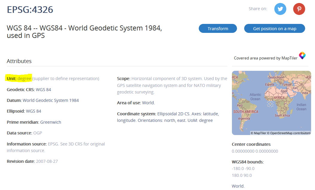
The target projection is WGS84, based on latitude and longitude. Accordingly, its unit is degrees .
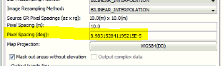
As defined in the output of SNAP, 10.0 meters are 8.9831E-5 degrees, that means 0.000089831 degrees.
If you want to have the spatial units of your exported data to be in meters, you have to set UTM as the coordinate system in the Terrain Correction.