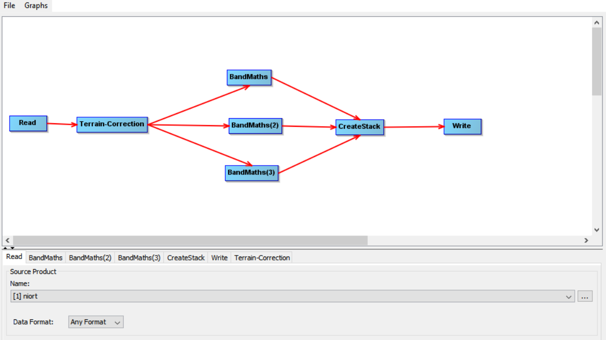
I tried that but the output of it all is just one band … I wonder how it can be done, I think I will stick to multiples graphs, first a terrain correction and a second one for the three namdmaths and the conversion into Tiff.
I’ll let you know what comes out of it.
Thank you anyways.
That’s it ! After a whole day trying to figure it out I got it.
The step Convert-Datatype is unnecessary because it was only to write my product as a Tiff format what I’m doing in the Write step.
This way, I can create the Stack like you suggested and it is all good !
Thank you for your help.
Cheers
Very good!
U already wondered why you had this operator at all, but assumed you need the rescaling option.
1 Like