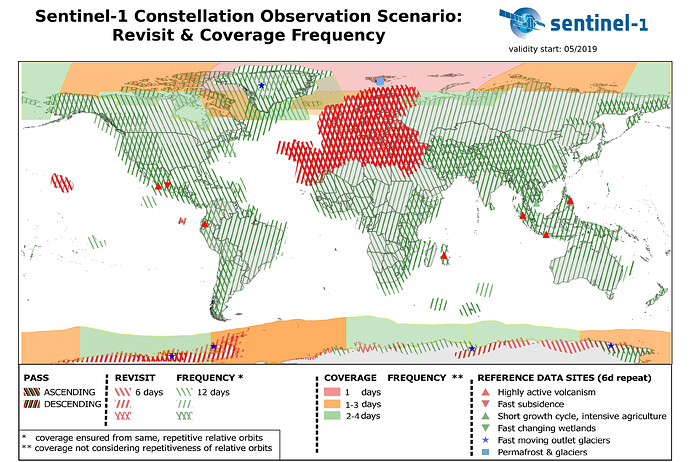
I was wondering if anyone else has issues in finding any sentinel 1B imagery from Open Access Hub?
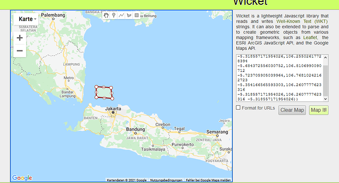
I have this search parameter as an example, but I can use any date range and it seems any coastal location and I get no Sentinel 1B data.
( footprint:“Intersects(POLYGON((106.2607777623316 -5.318557171954026,106.25502617728394 -5.684372556030752,106.8106990090712 -5.723705905039964,106.76810242162723 -5.354166565593303,106.2607777623316 -5.318557171954026,106.2607777623316 -5.318557171954026)))”) AND ( beginPosition:[2021-01-01T00:00:00.000Z TO 2021-03-31T23:59:59.999Z] AND endPosition:[2021-01-01T00:00:00.000Z TO 2021-03-31T23:59:59.999Z] ) AND ( (platformname:Sentinel-1))
Any ideas?
Thanks

