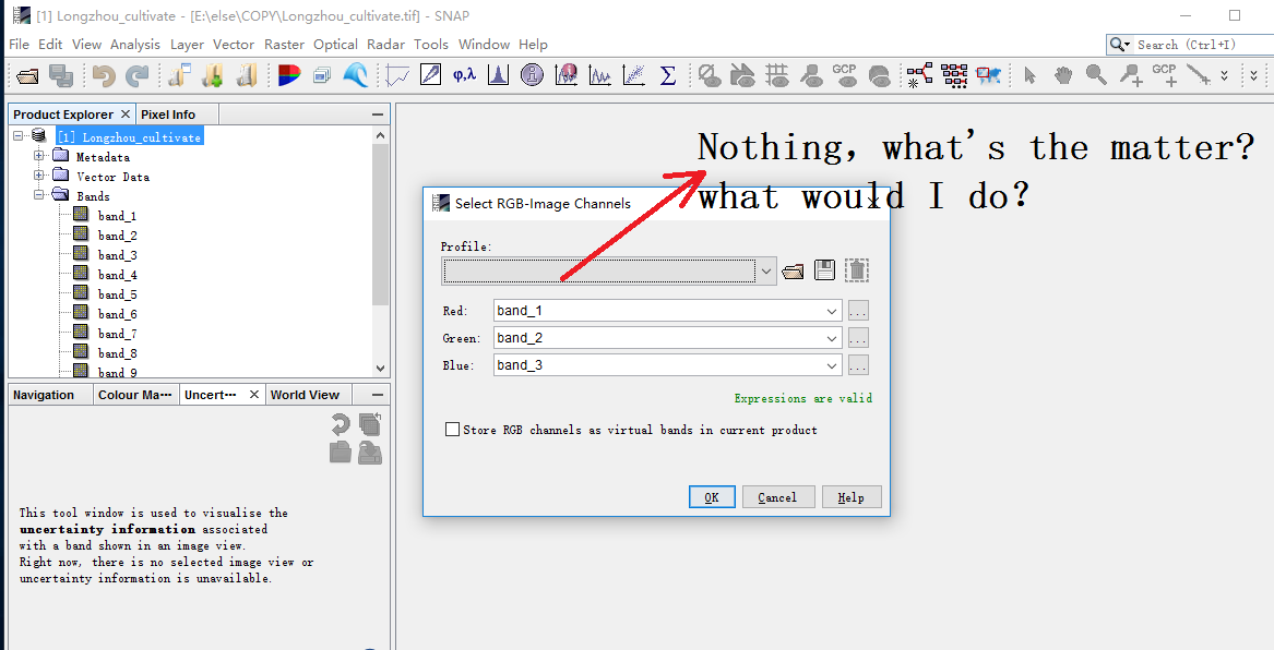
Selecting a profile is not mandatory.
In case SNAP recognizes which sensor is used, you get some predefined color schemes. But as you say, you opened a GeoTiff which isn’t able to store the name of the sensor and the single bands in their metadata. Accordingly, SNAP doesn’t know anything about this raster. You have to select red, green and blue manually.
Besides that: If you describe your problem a bit more, it helps others to understand and give you better answers.
Thank you very much. This GeoTiff was exported after I synthesized several image from GEE. I selected red, green and blue manually,but it still did not show anything. Does this mean that the file I downloaded was wrong?
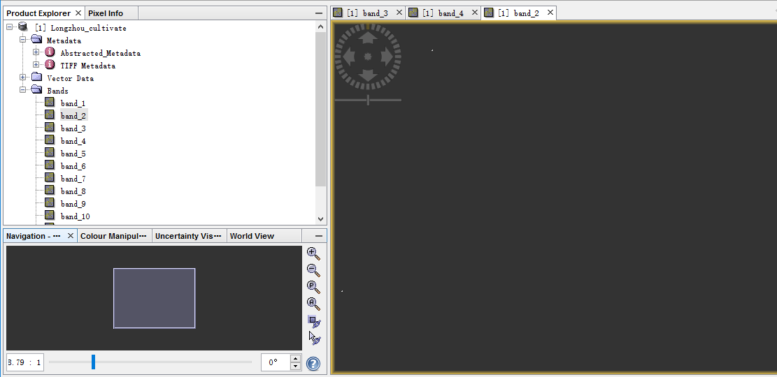
hard to say. Sometimes SNAP needs some time to display the data, especially for non DIMAP products.
But you can see in the color manipulation tab if the raster contains values or not. Also file size or band statistics are good indicators for that.
OK, Sincere Thanks again.
OK, Sincere Thanks again,:笑脸:.