Sentinel 2 land classification

What is the best method to distinguish between vegetation and fallow land cover? and do time series analysis. Kindly help me on this.

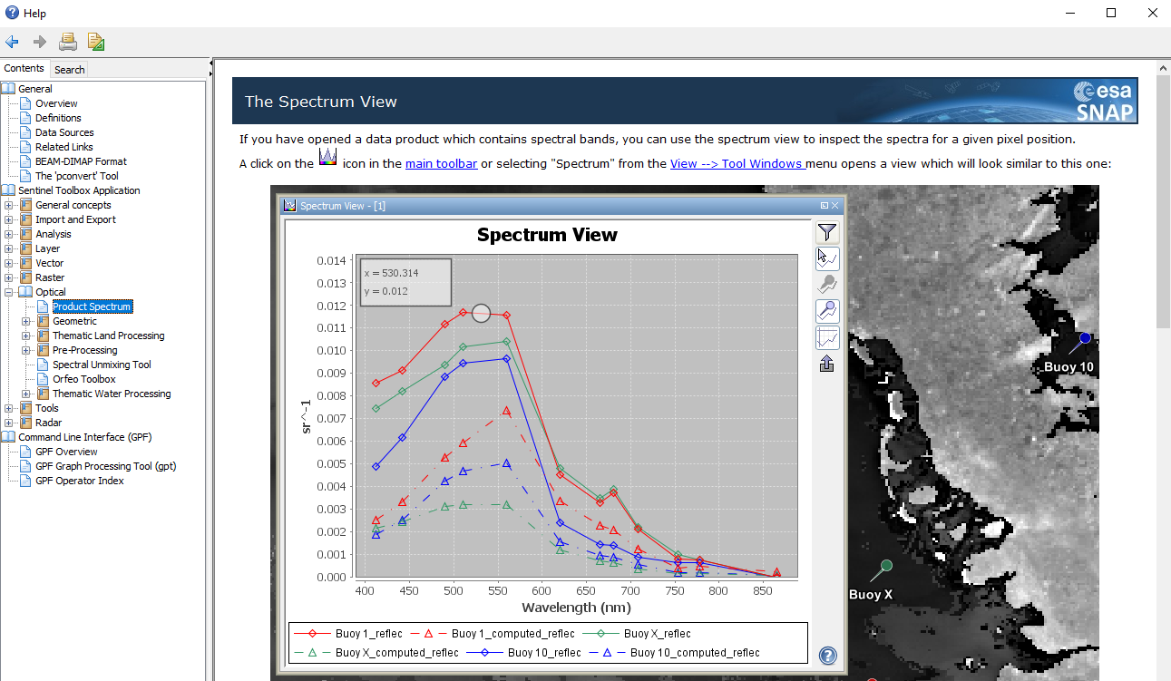
the infra-red band should contain the most important information as it is sensitive towards vegetation chlorophyll. Use the spectrum view tool to see the difference between both surfaces over the different bands:

If you include all bands in the supervised classification and select representative training areas of both classes you should get sufficient results. An example is given here Rndom forest classification steps

Thank you @ABraun.
But we are getting this error

you don’t add single rasters but rather whole products. You can then select the rasters to be used in the second tab.

Got this error

yes, Sentinel-2 is a multi-size product (bands have spatial resolutions of 10, 20 and 60 m).
You have to resample before you can process them.

You have to resample and then reprojected it or just resample it?

yes, first resample, then reproject.