Hello,
I am attempting to follow the Burned Area mapping tutorial located at the following link: https://rus-copernicus.eu/portal/wp-content/uploads/library/education/training/HAZA02_BurnedArea_Portugal_Tutorial.pdf
My issue is as follows:
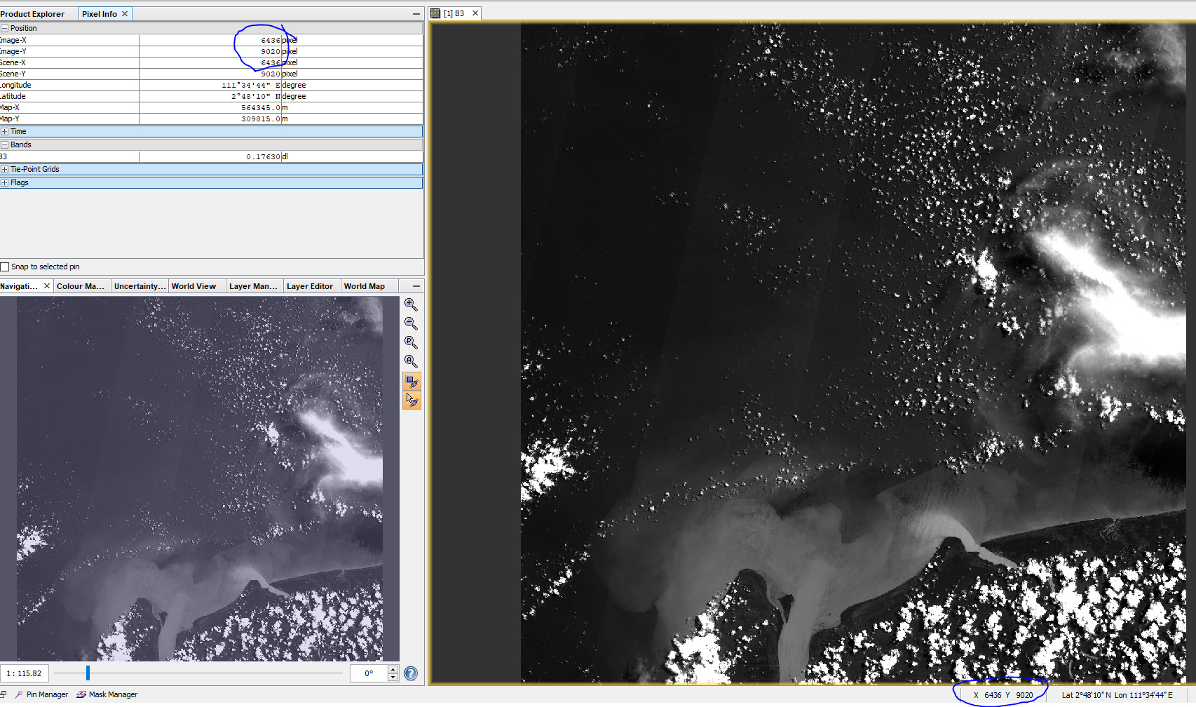
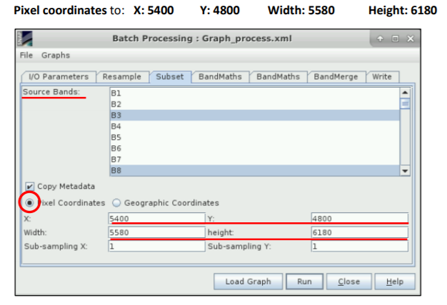
I am performing this burn scar map on a different set of images than what is done in the tutorial. One of the steps utilizes a Subset tool. When inputting the required settings into this tool, it is required to input Pixel Coordinates for the images you are using. In the tutorial, these pixel coordinate values are provided to you for the images they are using (As shown in the image below). However, I cannot find any documentation, or information in the metadata, as to how you would go about determining the Pixel Coordinates for another set of images.
If any one would be able to assist me in determining the proper Pixel Coordinates for Sentinel-2 Imagery, It would help me a great deal.
Thanks for your time