I downloaded sentinel 2 from google earth engine.
I calculated NDVI in optical- thematic land processing- vegetation radiometric indices - NDVI processor.
In NDVI processor I set processing parameters red source band :b4, NIR source band : b8.
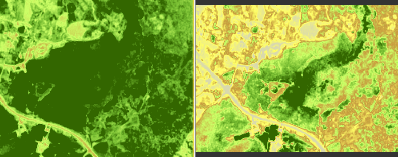
And I got NDVI image. and I subset NDVI image. but before subset image, after subset image are different.
What do I need to add?
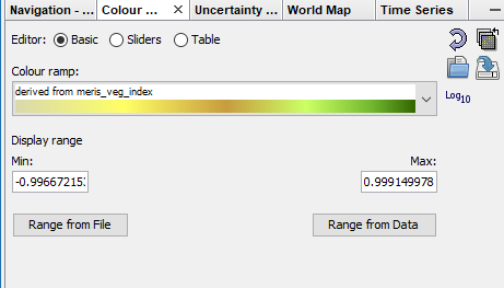
You can define limits for the the colors in the color manipulation tool.

By default they are are taken from the data. And min and max are different in your case. This results in different colors. If you set fixed values, e.g. 1- and 1 you should get the same colors-
I think this is the same as in your other topic: Ndsi calculation rate is wrong
Maybe it would be good to clarify one after the other:
