Hallo
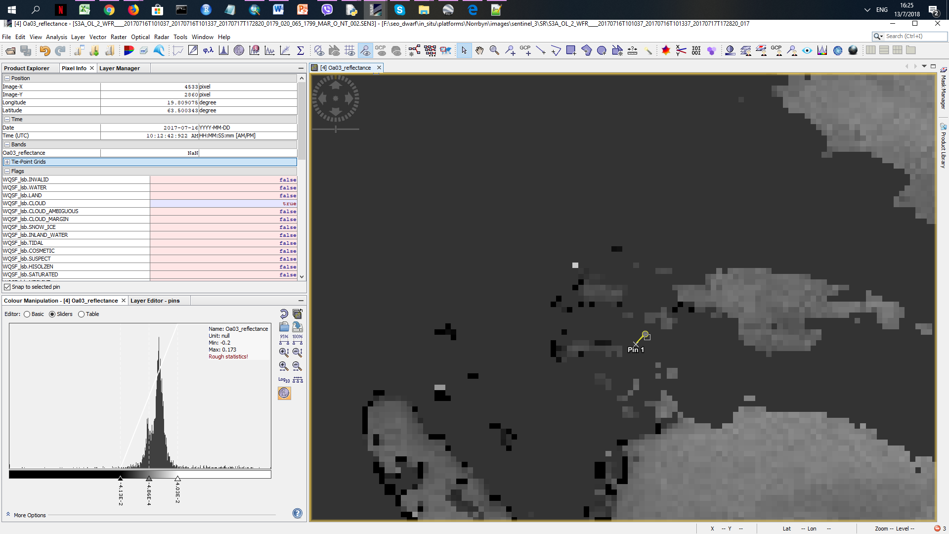
I am trying to get some data from a sentinel 3 image. I downloaded a S3A_OL_2_WFR image. The point of interest is located in the sea (attach a kmz) but in the product there is Nan value on that pixel.
Why is that since it is located in the water (attach a picture)?
Sweden.kmz (1.2 KB)