How to have do monthly average of Sentinel 3 OLCI data
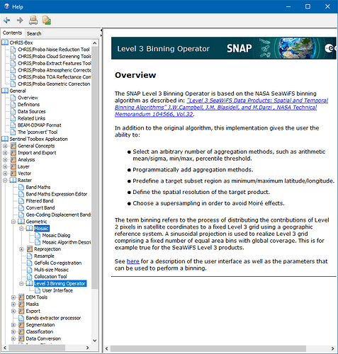
When you map level-2 data, the contribution a level-2 pixel near a pass edge can be spread over many mapped pixels as the ground footprint is much large than directly below the track of the sensor. These edge pixels are lower quality due to longer atmospheric paths, so you end up greatly overweighting low quality data. Binning level-2 data gives the same weight to every pixel. The SNAP Help pages give a brief description of binning. For more, see IOCCG Report 4. It is also worth mentioning that, for open ocean, monthly data for oceans smooths out spatial variation due to water movements, so unless you need to resolve details in coastal areas you can generally use much lower resolution at monthly time-scales than that of the orginal level-2 data.
