Hi!
I have been downloading the Sentinel 5p data. I need it measure NO2 emmission. I used ArcGIS to standard deviation, visualize and correction value of raster in this field. I tried different methods, however, still face issue
(I attached a screenshot).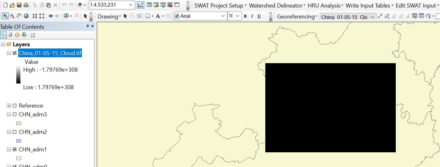
Could you please somebody advise me.