hello everyone,
I have ben working for a while with shoreline extraction from SAR imageries of Sentinel 1A data. After
performing all the pre-processing steps and applying land-sea mask, I created a layer using band math, which came up like the below.
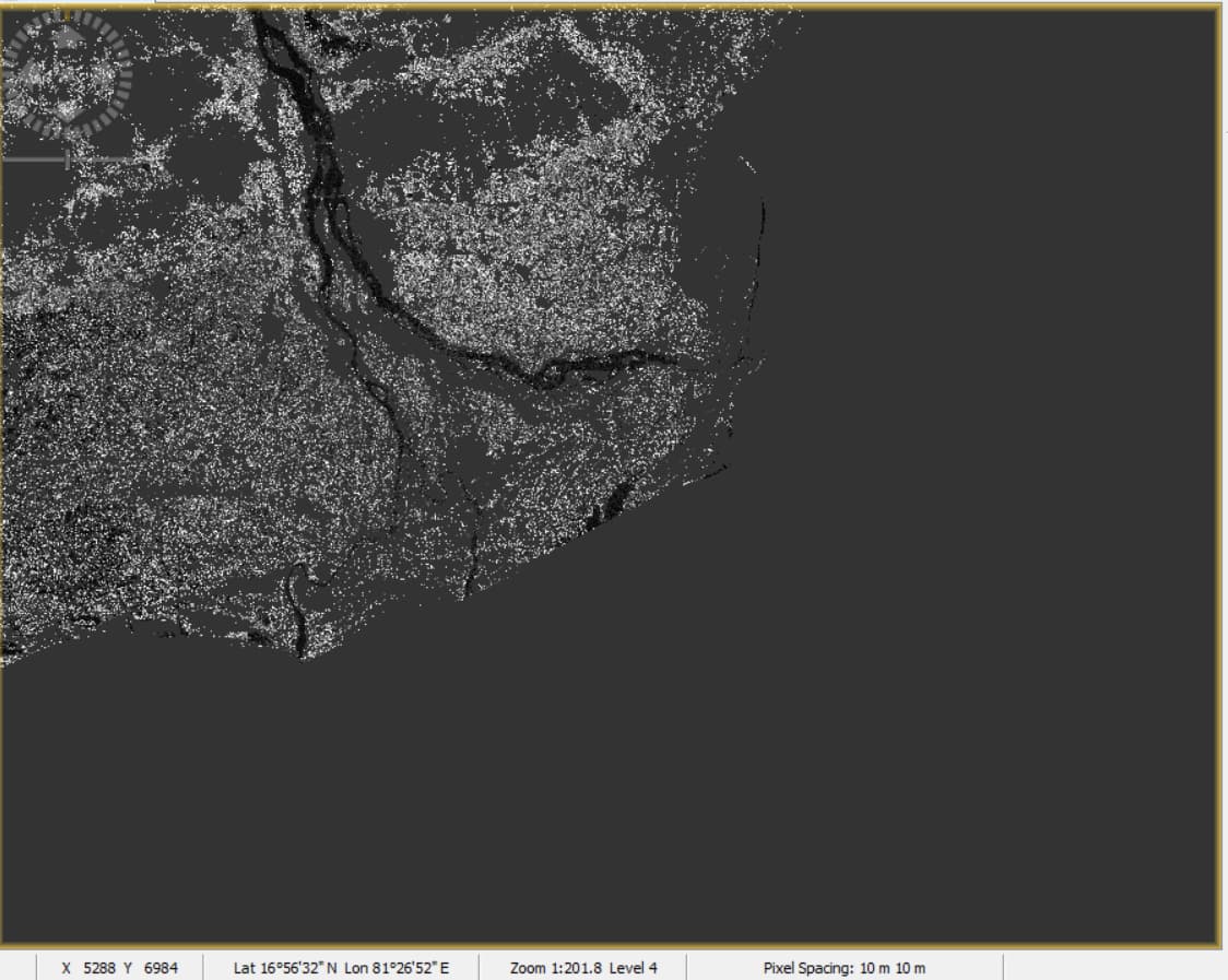
Then I exported the tiff file to ArcGIS and traced out the shoreline. later I overlaid it on Google Earth image which showed a wide variation in the shoreline positioning.
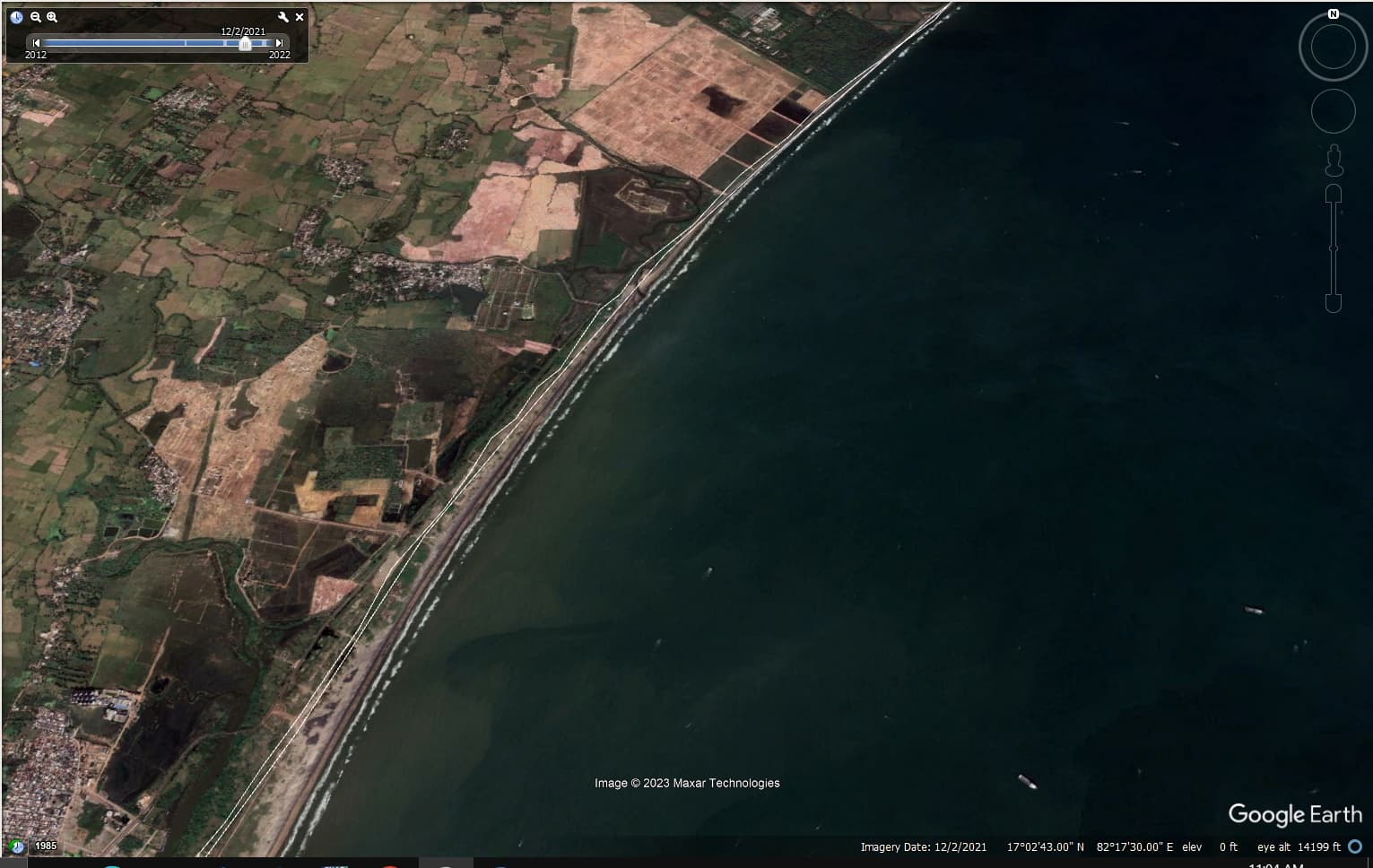
Request you to please help me out if I need to carry out some other steps or how do I calculate the error if necessary.