I’m working on the SLC images and I’m looking for a method to import a geographical point (Lat, Lon coordinates) in the complex de-burst image (both i and q bands)
What is the formula to calculate the SLC pixel (X,Y) associated with a specific GRDH pixel (Lat,Lon)?
Please let me know how to perform that transformation.
How precise do you need the geocoding of pixels? SLC and GRD have tie point grids which store lat and lon coordinates, but they are not terrain corrected.
I don’t have a particular problem with geocoding accuracy.
In fact, I have a centroid of a big anthropic target (extracted from the GRD) that should be localized on the SLC image. I’m looking for a formula that performs the transformation (to be coded in Python, Octave…) .
thank you. This method is useful for a single point manual conversion but I looking for a formula allowing the conversion between a pixel (pixel_X, pixel_Y) in the SLC deburst image and its Lat Lon coordinates (and vice-versa).
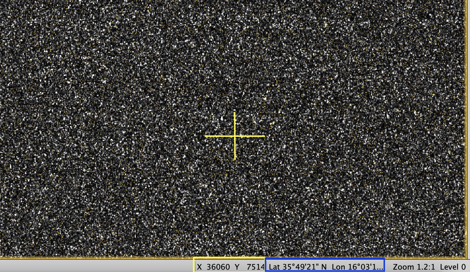
I attached a picture. In it, you can see that SNAP performs this transformation moving the cursor over the SLC deburst image. Could you help me to retrieve these formulas?