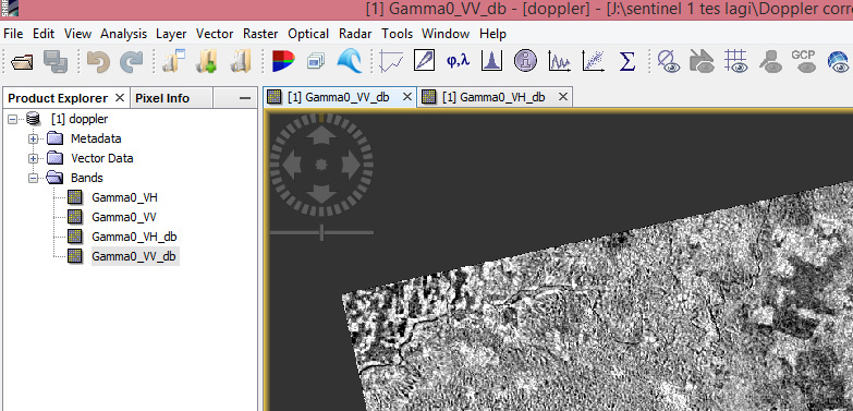
I would like to ask about slope correction in sentinel 1. I follow the step from some literature for pro preprocessing sentinel 1. The problem is when i have finished slope normalization use band math (the example : Sigma_VHsin (PIprojectedlocal incidentAngle/180))/sin(PI*incidentAngleFromEllipsoid/180). Before slope normalization, the value of VH image in db is -26 to -11 with mean -14. After slope normalization, the value change drastically from -29 to 8 with mean 0.2. Thats true or not about the value? I doubt about that. Have repeated but the result still same…
A smaller shift in image statistics can occur when over-illuminated slopes (facing the sensor) are corrected and get smaller values. Your shift however seems a bit drastic. You can use the Terrain Flattening module in SNAP to have it calculated.
The following procedure woll correct your S1 data for topographic influences
thanks mr brown…I have basic questions?what is different beetwen range doopler correction and terrain flattening? can yu show me what is the purpose of the precise orbit?
Orbit files store the exact location of a satellite at a given interval, e.g. every 10 seconds. They help to get the correct image geometries at the time of image acquisition. This is especially important for Interferometry where the distance between both satellites must be known as good as possible. But it also assists correct geolocation of the images.
On Terrain Flattening I recommend to check the work of David Small, although the algorithm in SNAP changed a bit:
this is a requirement of the TerrainFlatteneing operator. It needs a calibrated signal where terrain effects are still present which is not always the case for Sigma0.
Excuse me, which slope calculation method is used in s1tbx? Moreover, is there any link of source code in calculating slope and radiometric terrain flattening? I don’t know the exact path of calculating slope and radiometric terrain flattening in the s1tbx Github repository. There are too many code files…
Thank you.
Please refer to SNAP help for more details or to the publication of D.Small.
You can search “flattening” on github and you shall find lines of code related to this operator, otherwise maybe @jun_lu can direct you to the proper part of the code.