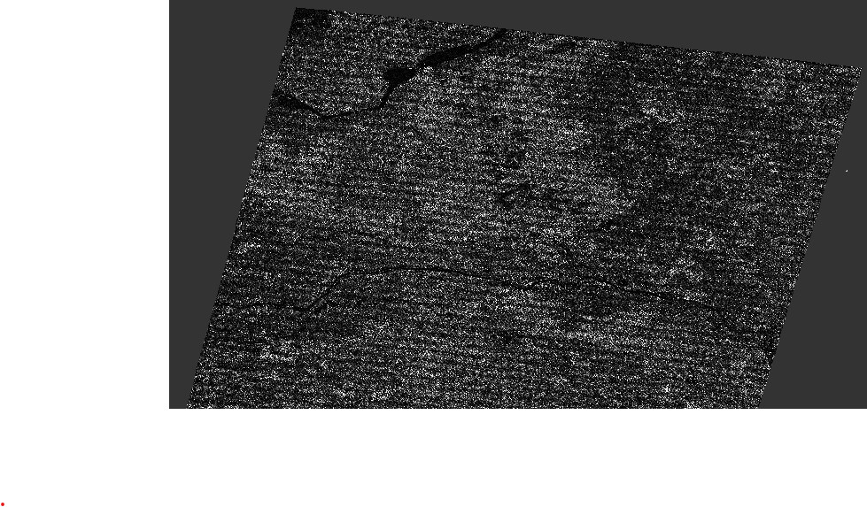
I’m currently attempting to apply Range-Doppler terrain correction to an IW-SLC image. however after I finish the process there seem to be some weird artifact that is very visual. It’s a wave like interference or manipulation effect of the image after the terrain correction.
I’m using the SLC because I need the Phase information.
maybe my process is wrong
TOPS-split > apply orbit file > calibration (remain SLC) > de-burst > terrain correction
anyone knows about this problem? and maybe how to solve it?
any help will be much appreciated
I don’t think it is possible to terrain-correct complex data - that is not a valid operation in current SNAP. One cannot do operations that depend on the phase on terrain-corrected data - that means interferometry polarimetry tomography and the like needs to be done before terrain-correction.
Thanks for the response!
the problem is I need to use specific locations based on lat lon coordinates and without a proper terrain correction I cant pin point the exact locations.
do you might know a way to use lat lon coordinates on sentinal-1 images in SNAP?