I am currently using Landsat 8 Collection 2 Level 2 data. The data is converted to the *.dim format. But the problem also occured with Landsat 7 Level 1 data in my class. I have to mention, that the Landsat 7 data (with no changes) is used for the teaching since several years. I used the data last year and the year before. So I am totally shure, the data is okay! I did not do any changes to the data compared to the years before.
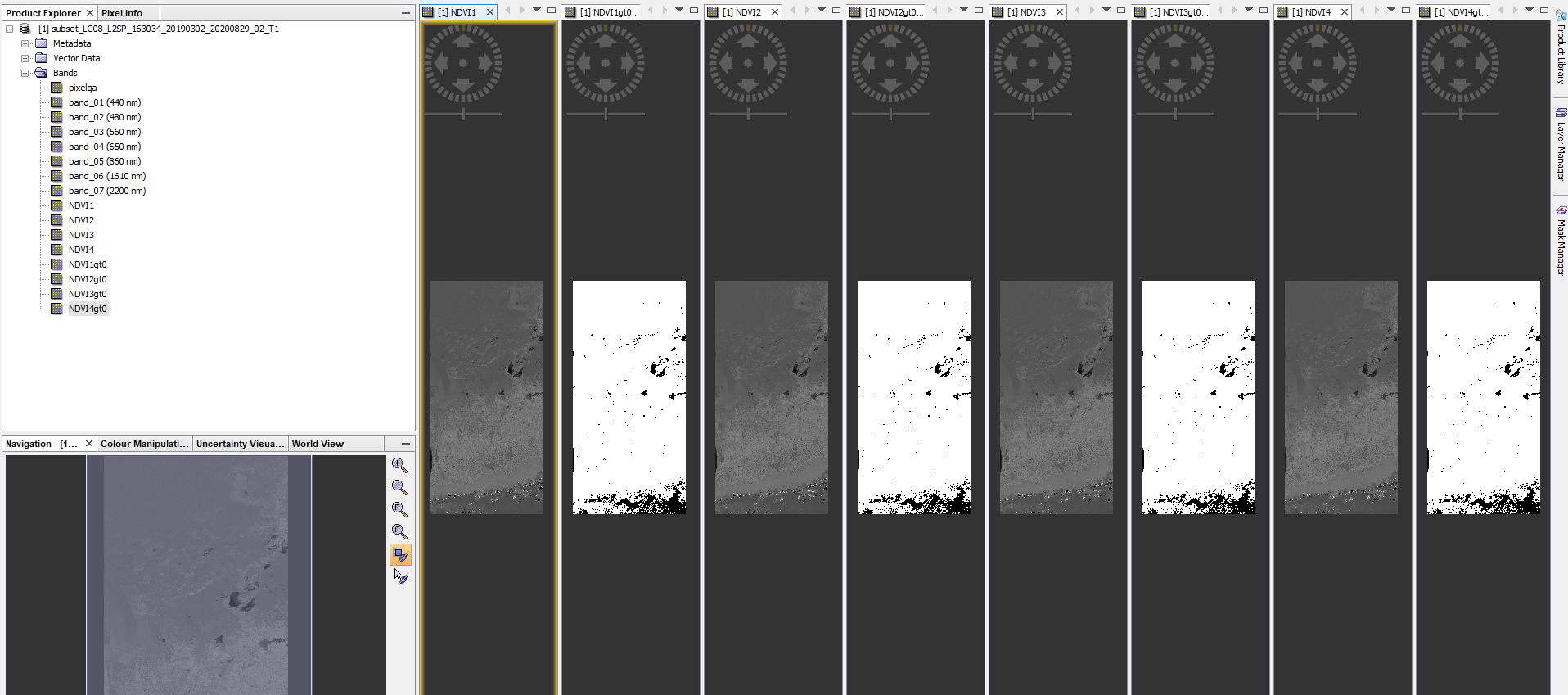
Now: I re installed SNAP 7: calculated the NDVI several times, calculated the mask several times. No Problems with SNAP 7.
No problem with SNAP7: