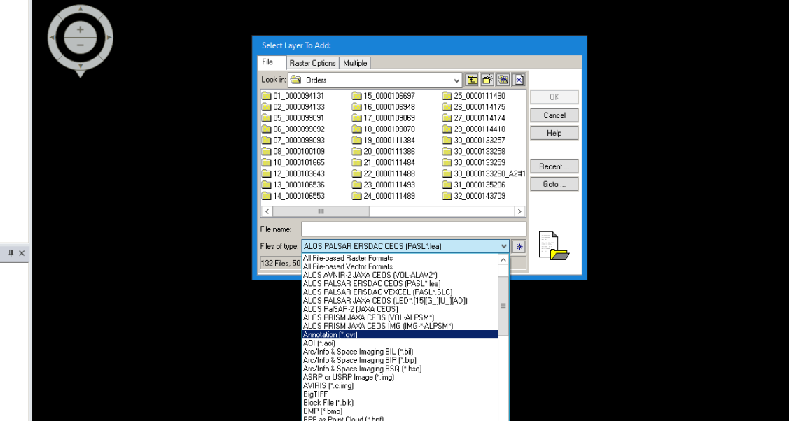
Level 1.5 Geotiff products are missing metadta information which are required by most programs for correct handling. Even ERDAS Imagine doesn’t support this format:
If there is no topography in your area, you might be lucky with the Mosaic operator as suggested here: ALOS-1 L1.5 Terrain Correction
out of curiosity: Why did you order Level-1.5 data at all?