I got a problem while doing coreg_ifg_topsar.py.
it says:
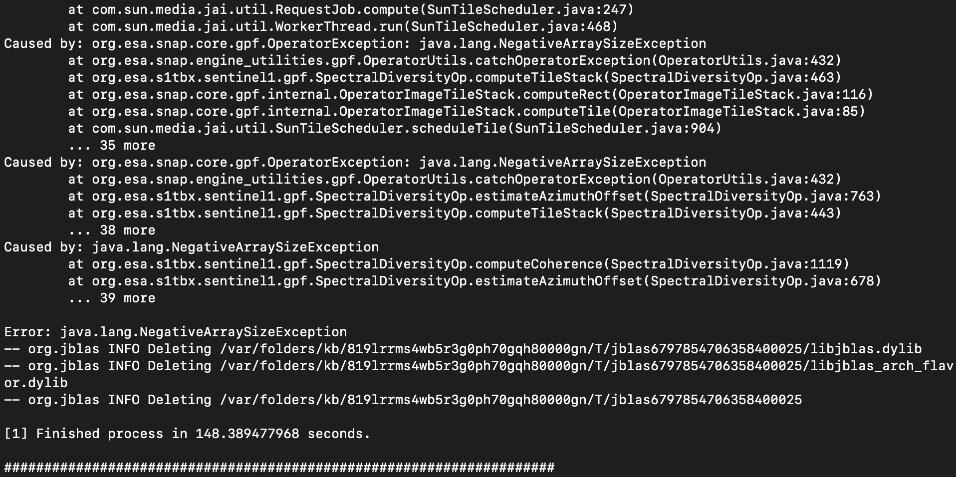
The previously steps can be done so well, but it just can’t go on in this step.
P.S. It can run so well in SNAP by using BackGeocoding and Interferogram.
I got a problem while doing coreg_ifg_topsar.py.
it says:
The previously steps can be done so well, but it just can’t go on in this step.
P.S. It can run so well in SNAP by using BackGeocoding and Interferogram.
Are you using a single burst?
If so indeed that is the issue. Next version will have a graph without ESD for that case. The current version works for 2 or more bursts.
You can remove the ESD from the graph and run the coreg_ifg step again
Let me know
But I’m using 17 bursts but 1 in this cases, it’s more than 2 bursts.
So you are using 2 sub-swaths? How did you preprocess them?
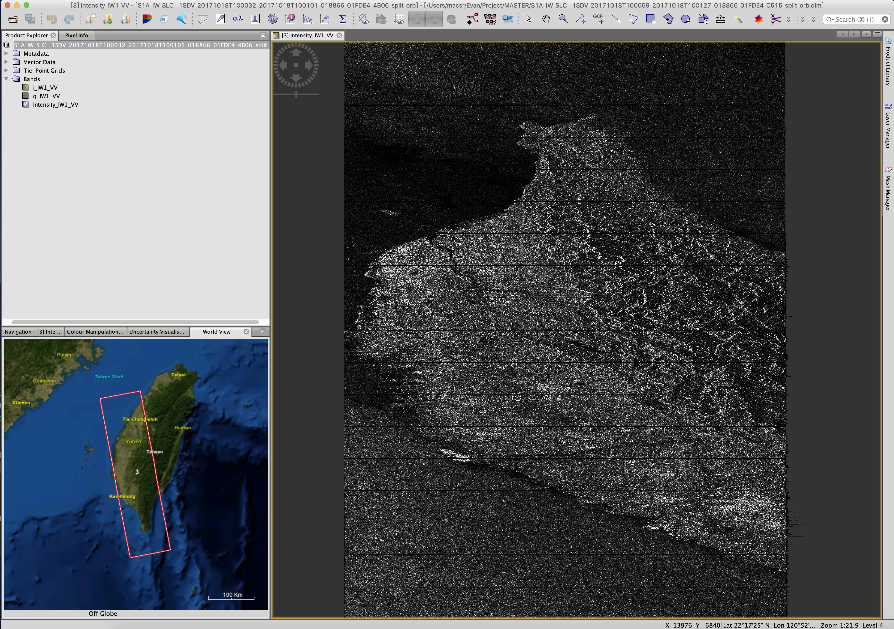
I put 2 images into one image like this:
By using splitting_slaves.py to make it together. And renamed my Master image in SNAP.
So this product consists of two adjacent scenes along one orbit?
Were all other slaves processed like this as well?
What do you mean by “renamed the master image”?
I am just trying to understand.
So this product consists of two adjacent scenes along one orbit?
yes
Were all other slaves processed like this as well? yes
yes
What do you mean by “renamed the master image”?
change the file name from yyyymmdd_IW1 into S1A_IW_SLC__1SDV_20171018T100032_20171018T100101_018866_01FDE4_4B06_split_orb.dim by using
and put it into the Master folder
sounds logical to me but I don’t know if SNAP can use these data during the coregistration.
Have you tried coregistering these products in the SNAP gui to see if the same error occurs?
@mdelgado do you see a problem here?
Yes I’ve try the coregistration in the SNAP gui and it done this process successfully.(I’ve check the phase image and it looks great.) No error occurs in the SNAP gui.
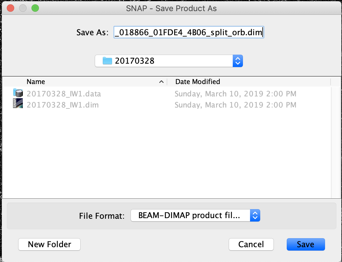
You cannot renamed it just the dim and data folder of the master. Internally to the dim file there are a lot of references to the filename that you should take into account . My advice is to generate again the master image using the GUI giving the proper output name
Thanks for the advise below, after reprocess the advise it seems running perfectly right now.
Thanks a lot.
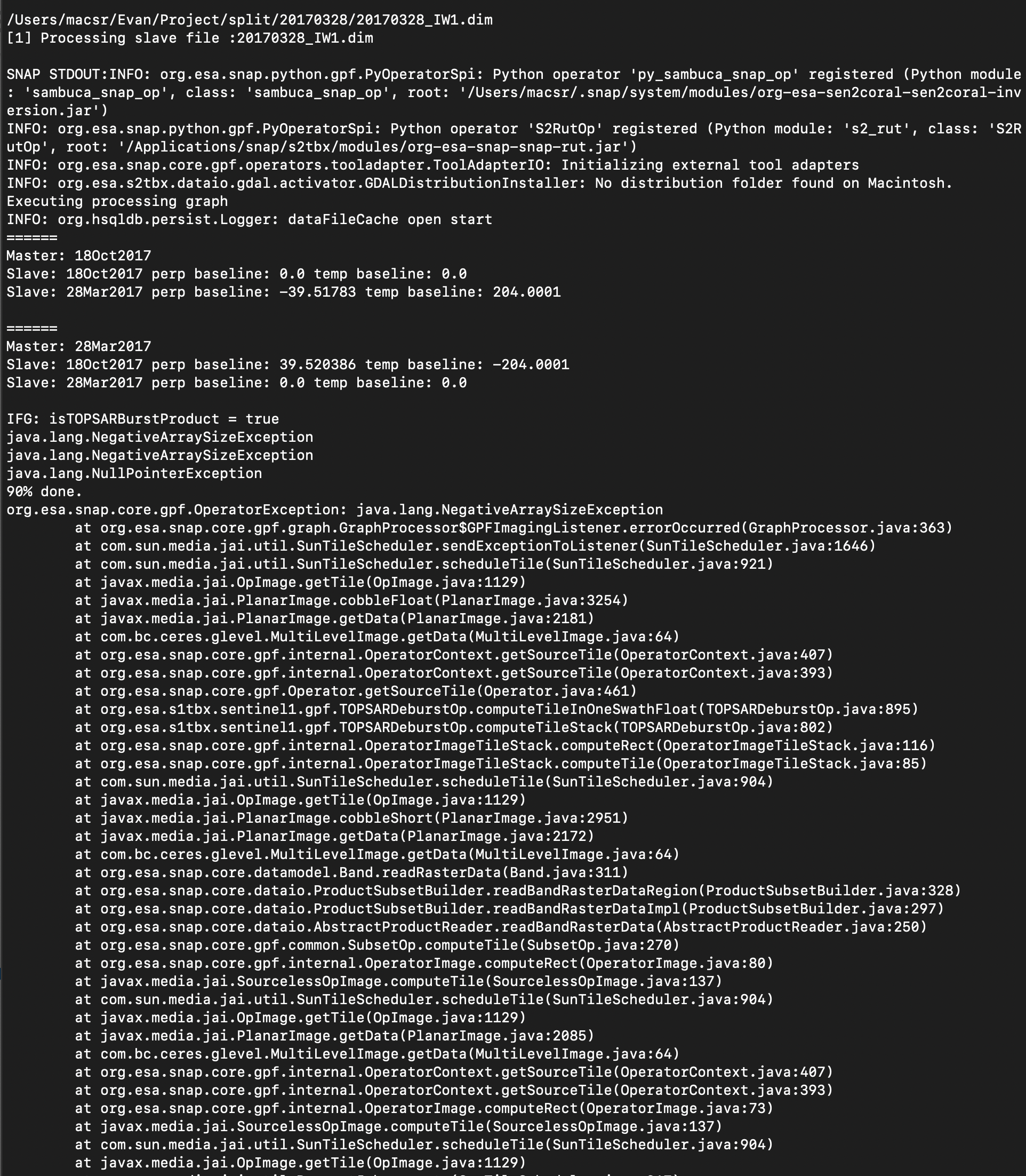
Some problem occur right now…
After fixing the MASTER image problem, the result becomes like this…
I don’t know what happen right now, but I try the graph in the file of this step in SNAP and it work perfectly.
sorry to bother you guys again.
have you checked in the world view if both products cover the same area after the split operator?
I agree with @ABraun with my first impression. It seems that the master is bigger than the slave image or they cover different area.
Could you please check that?
If so, my suggestion is you get the other slices as the scripts handle the slave slice assembling too.
external DEMs must be projected in WGS84 (EPSG:4326), no UTM coordinates according to the Help menu. GeoTiffs are reported to work best. I
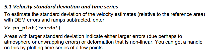
i have a question about vs plot,what exactly it is?i mean through what Algorithm get it.
v is the velocity and s is the standard deviation of all values.
If a point has 5 deformation measurements, all of them are -12 mm (example), the standard deviation is 0. If the values strongly differ, the standard deviation becomes higher. It is therefore a measure for the uniformity of the measured deformation.
ok,thanks to your quick reply,i get it.That means the region with large deviation maybe non-linear deformation. But how can i distinguish them.
Yourbest
Suiuy
First and foremost: Thank you for this super nice package!
i am now running the scripts in my windows command line to prepare for stamps processing of the sentinel-1 data i downloaded and the first 2 worked fine!
My question is regarding the use of external DEM, in this forum i read that i should replace the < ExternalDEM/ > with the path inside the xml file used.
so i changed it with this:
< externalDEMFile>E:\Thesis\TAN_DEM\TAN_DEM_merged.tif< / externalDEMFile >
without the spaces
as someone else mentioned i also changed the value after < DEMname > to Tan-DEM-x
when i run the coreg_ifg_topsar.py i get the error that my image is outside of SRTM valid area. so for some or another reason it is not using my external DEM, did i miss somethin?
maybe @ABraun or @mdelgado could help
thank you!
Hi Gijs!
We are glad you are happy with the scripts.
Please try with:
< demName>External DEM< /demName>
< externalDEMFile >E:\Thesis\TAN_DEM\TAN_DEM_merged.tif< /externalDEMFile>
< externalDEMNoDataValue >0.0< /externalDEMNoDataValue>
< tileExtensionPercent >100< /tileExtensionPercent>
Let us know. I hope this helps